GLOS CEO Kelli Paige opened the meeting. GLOS and Michigan Technological University for years to bring high-frequency radar to the Great Lakes.
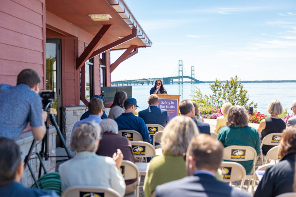
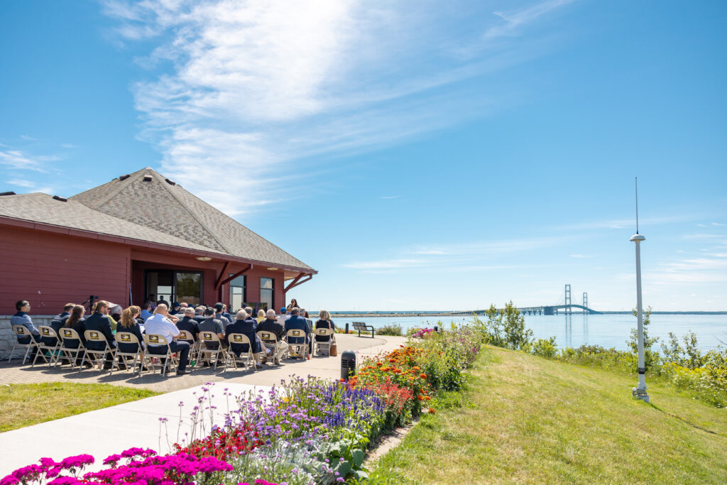
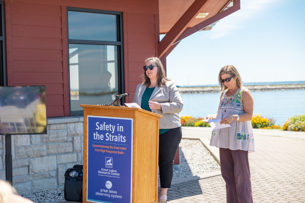
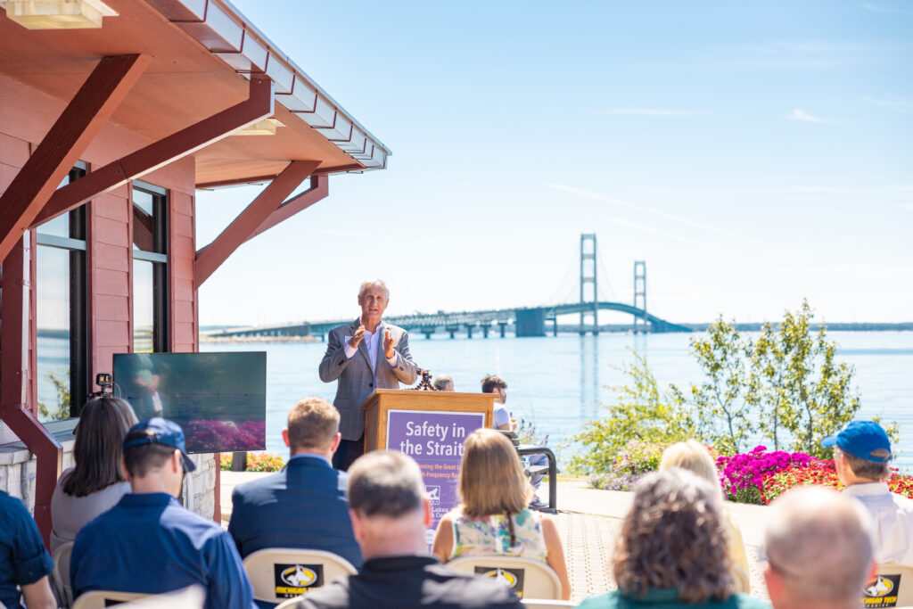
On August 12, 50 people gathered at the north end of the Straits of Mackinac to commission the Great Lakes’ first high-frequency radar (HFR) installation.
Many years in the making, HFR monitors surface currents in real-time and can allow people to:
Locate people or pets during search and rescue operations.
Track vessels.
Monitor movements of hazardous spills or harmful algal blooms.
Understand how water moves through this complex, busy waterway.
Michigan Technological University’s Great Lakes Research Center (MTU GLRC) recently completed the installation of the HFR to cover the west side of Mackinac Bridge, thanks to funding from GLOS and the Michigan Department of Environment, Great Lakes, and Energy.
The GLRC has maintained and operated the radar since 2020, the first of its kind in the Great Lakes.
The event, called Safety in the Straits, was hosted by GLOS and MTU and featured speakers including congresspeople and their staffers, MTU leadership, a member of the Mackinac Bridge Authority, and NOAA, Integrated Ocean Observing System, and GLOS leadership.
The data is now live and public via UGLOS and will soon be available on Seagull.
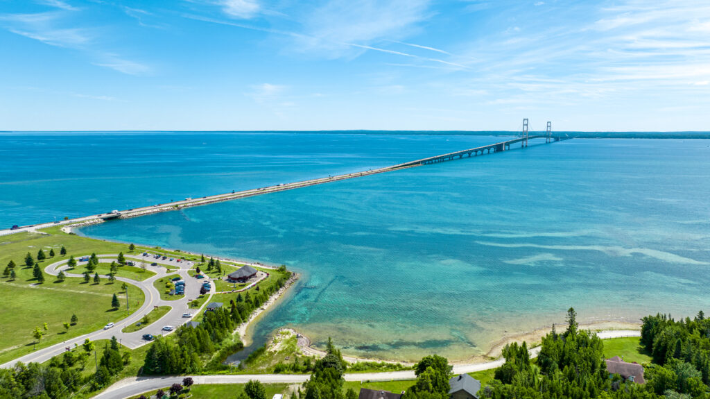
The event took place at Bridge View Park at the north end of the Mackinac Bridge.
The white high-frequency radar on the right is part of a pair placed near northwestern and southwestern ends of the Mackinac Bridge. The effort to secure funding for an additional pair to cover the eastern side of the waterway is still ongoing.
The high-frequency radar data can create vector arrow maps so people see where the surface currents are flowing and at what speed.
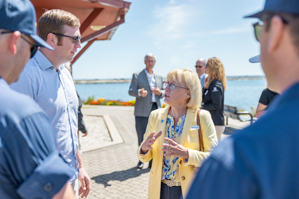
Debbie Lee, Director of the NOAA Great Lakes Environmental Research Lab talks with members of the U.S. Coast Guard and Brian Zelenke, Surface Currents Program Manager at the NOAA-led Integrated Ocean Observing System.
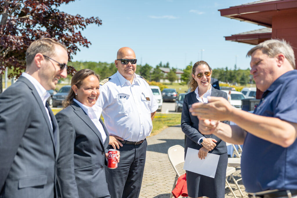
State Senator Wayne Schmidt (MI-37) talks with crew members of the Octantis, a Viking ship.
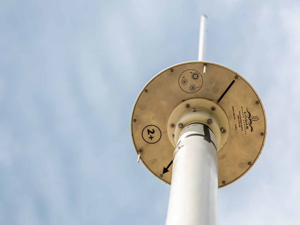
The underside of the high-frequency radar, made by CODAR.
Staffers from the office of Senator Gary Schmidt (MI) voiced support for this project and continued monitoring of the Great Lakes.
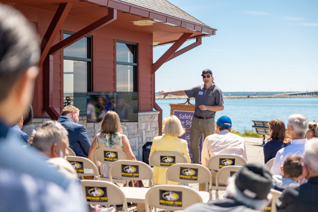
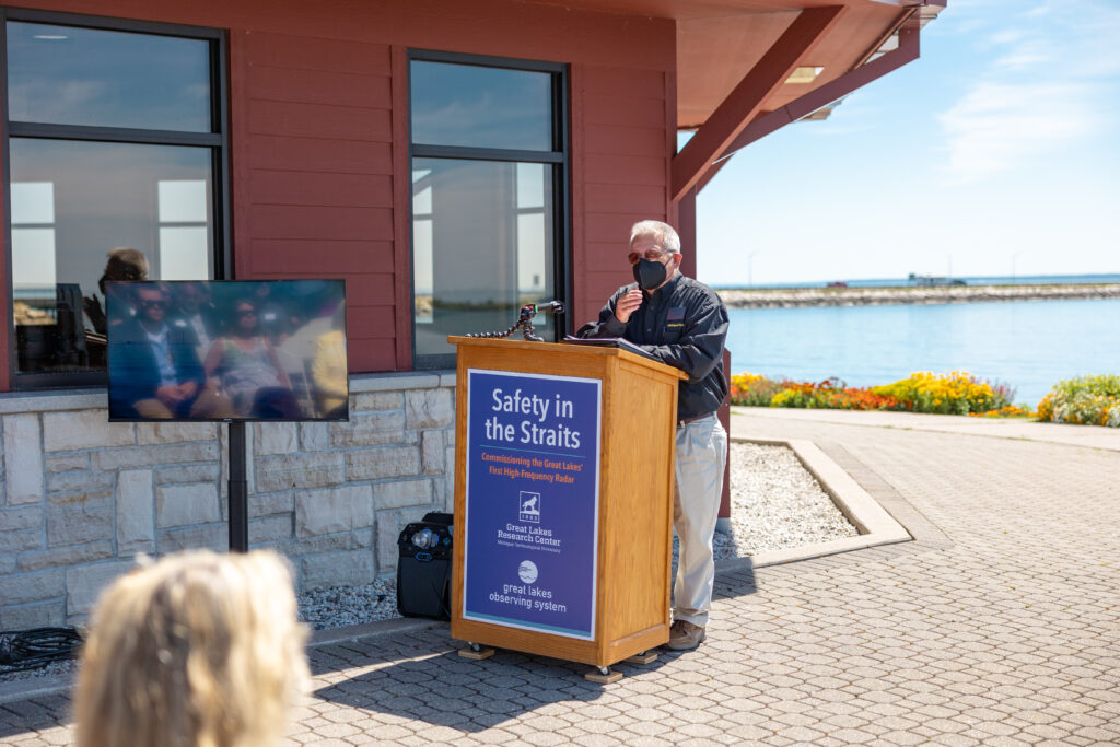
Tim Havens, Director of Michigan Tech’s Great Lakes Research Center demonstrates how the high-frequency radar can deepen our understanding of extreme events and be paired with existing real-time buoy data for an even deeper understanding of the straits.Richard Koubeck, president of Michigan Tech., speaks on the university’s ongoing support for Great Lakes research.
Researcher Guy Meadows, from Michigan Tech., talks about the origins of the decades-long effort to bring high-frequency radar to the Great Lakes freshwater environment, an effort pioneered by Lorelle Meadows, also from Michigan Tech.