High-Frequency Radar
A live snapshot of lake surface currents, 24 hours a day.
New to the Great Lakes, HF radar measures surface currents over large areas.
When studying currents, researchers are typically limited to a device that measures only one point in the water.
By capturing extremely detailed, near-surface water direction and speed information, this platform allows observers to:
- Locate people or pets during search and rescue operations
- Track vessels
- Monitor movements of hazardous spills or harmful algal blooms
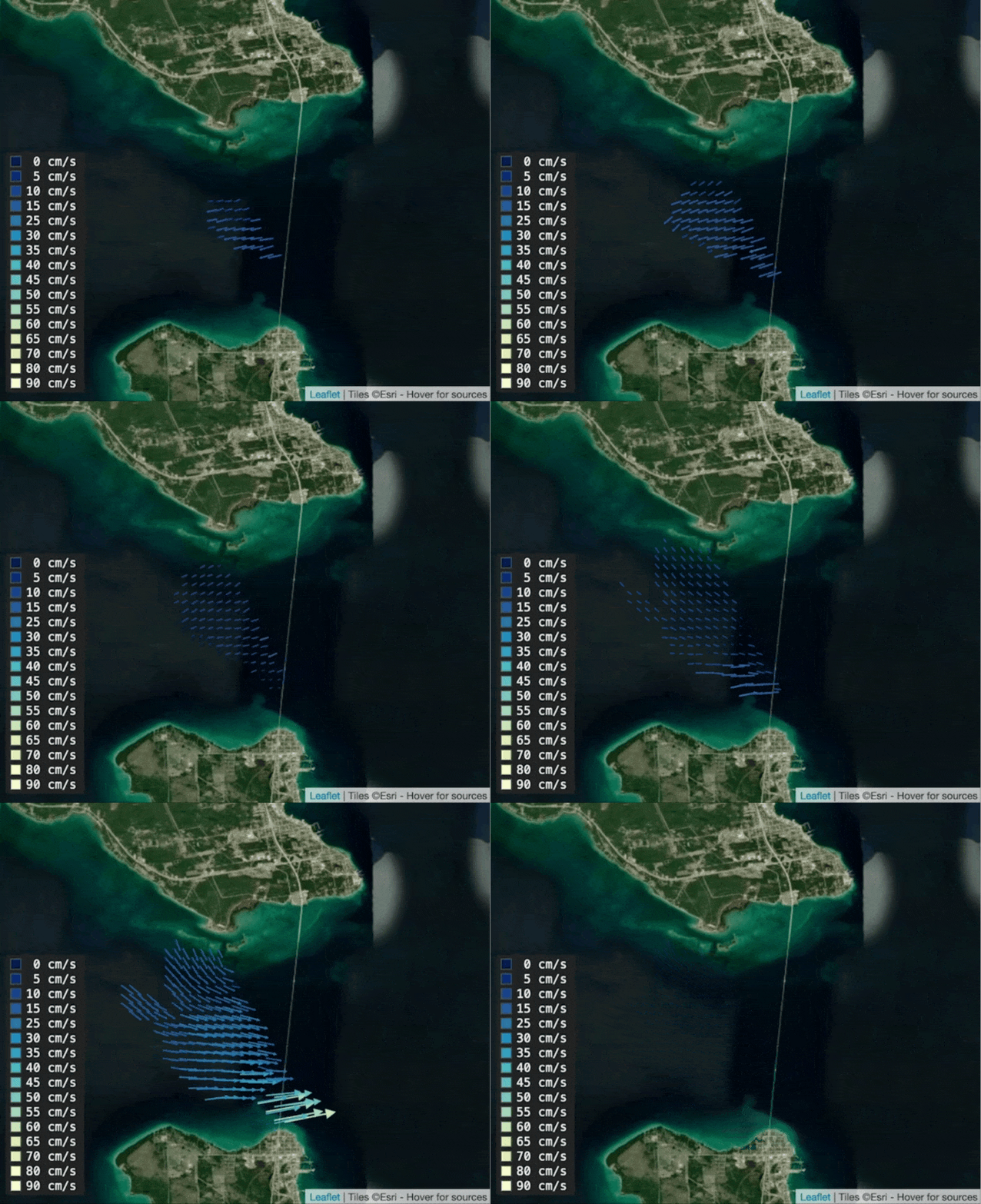
- Understand how water moves through complex waterways, like in the Straits of Mackinac
Photos by Nathan Shaiyan, Michigan Technological University, unless otherwise noted.
Photos by Lorelle Meadows, Nathan Shaiyan, and Michigan Technological University.
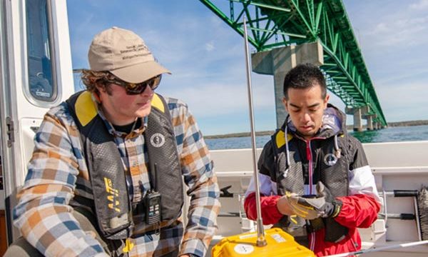
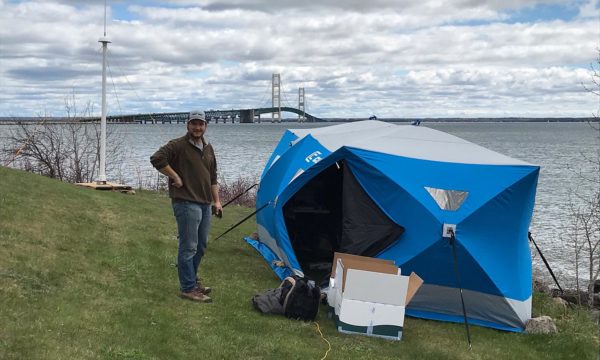
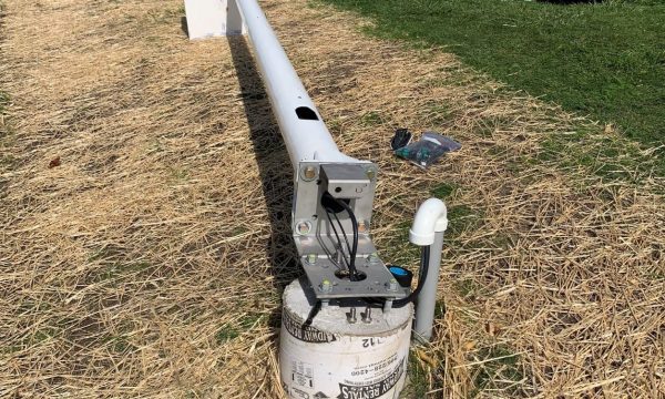
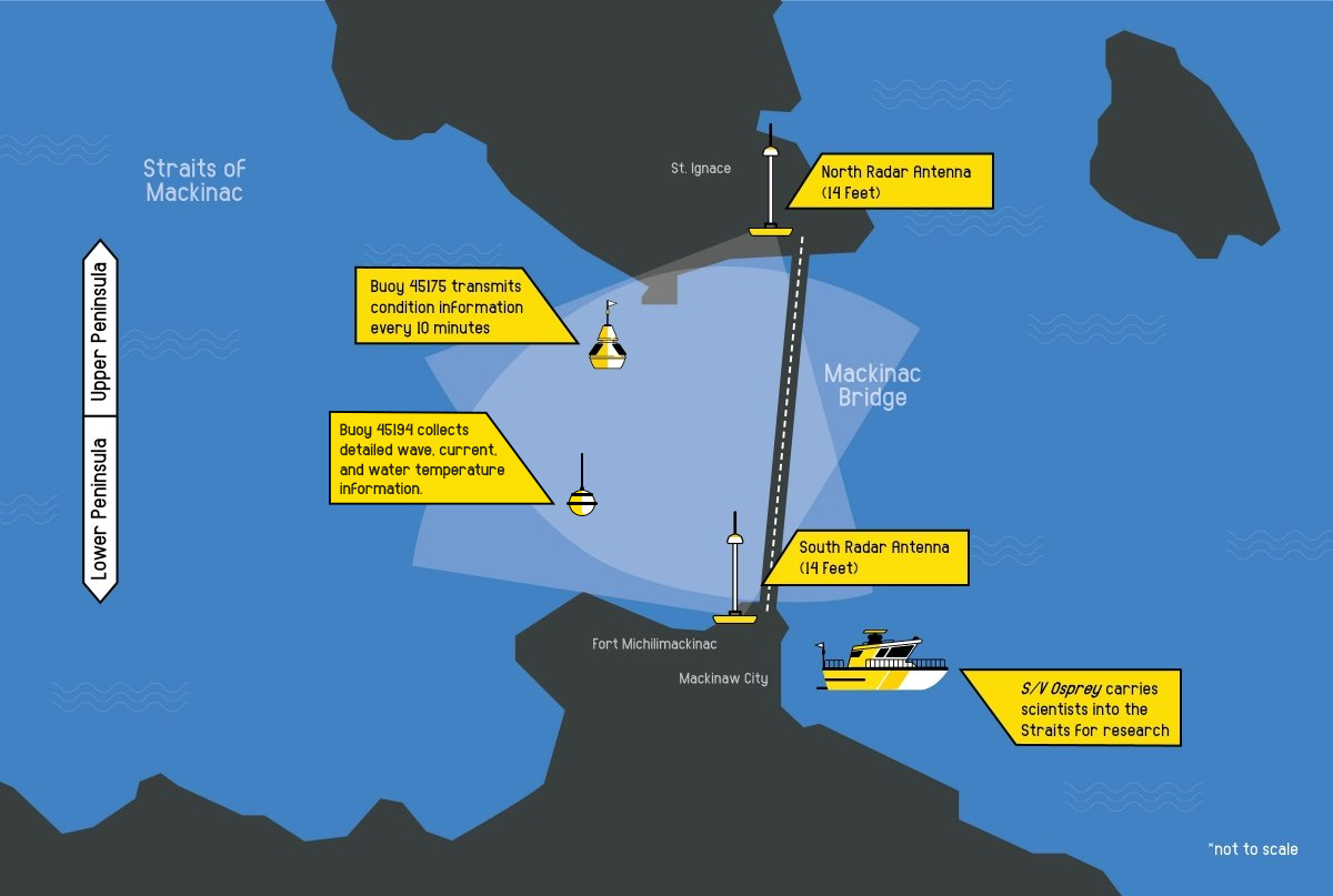
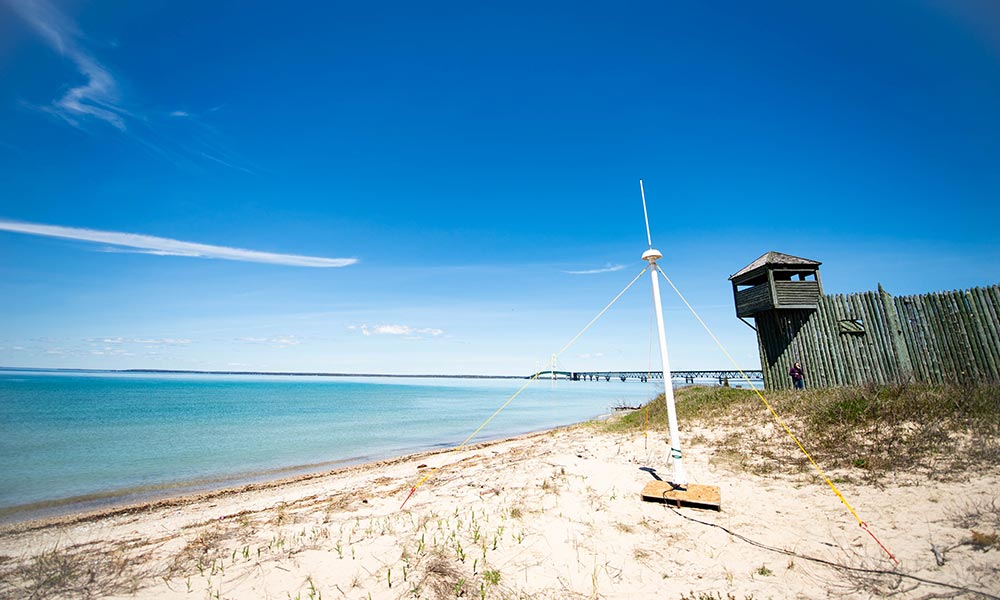
HF radars are shore-based remote sensing systems made up of antennas, generally used in pairs and placed close to the water’s edge.
The antennas send out pulses of high-frequency radio waves that bounce off the water’s surface and back to the antenna. By measuring how the waves bounce back, the radar is able to create a map detailing the speed and direction of surface currents.
Because saltwater allows HF radar to work over much larger areas, coastal waters have long benefited from HF radar, but the Great Lakes are just beginning to use it. Even the reduced range, reaching 10-15 miles in some tests by Dr. Lorelle Meadows, can be enough for many areas.
The first HF radar in the Great Lakes is located in the Straits of Mackinac where, operated by Michigan Technological University Great Lakes Research Center, a single radar pair covers the waters on the west side of the Mackinac Bridge.
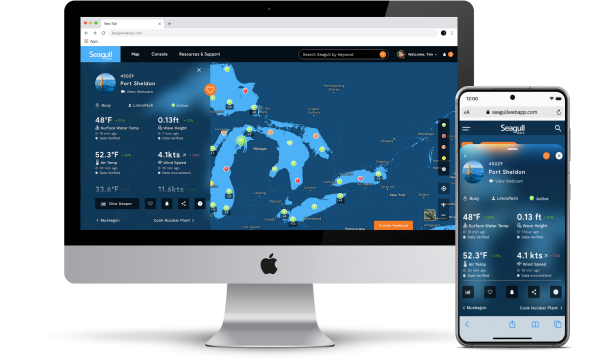

HF radar will also be available on Seagull soon.
