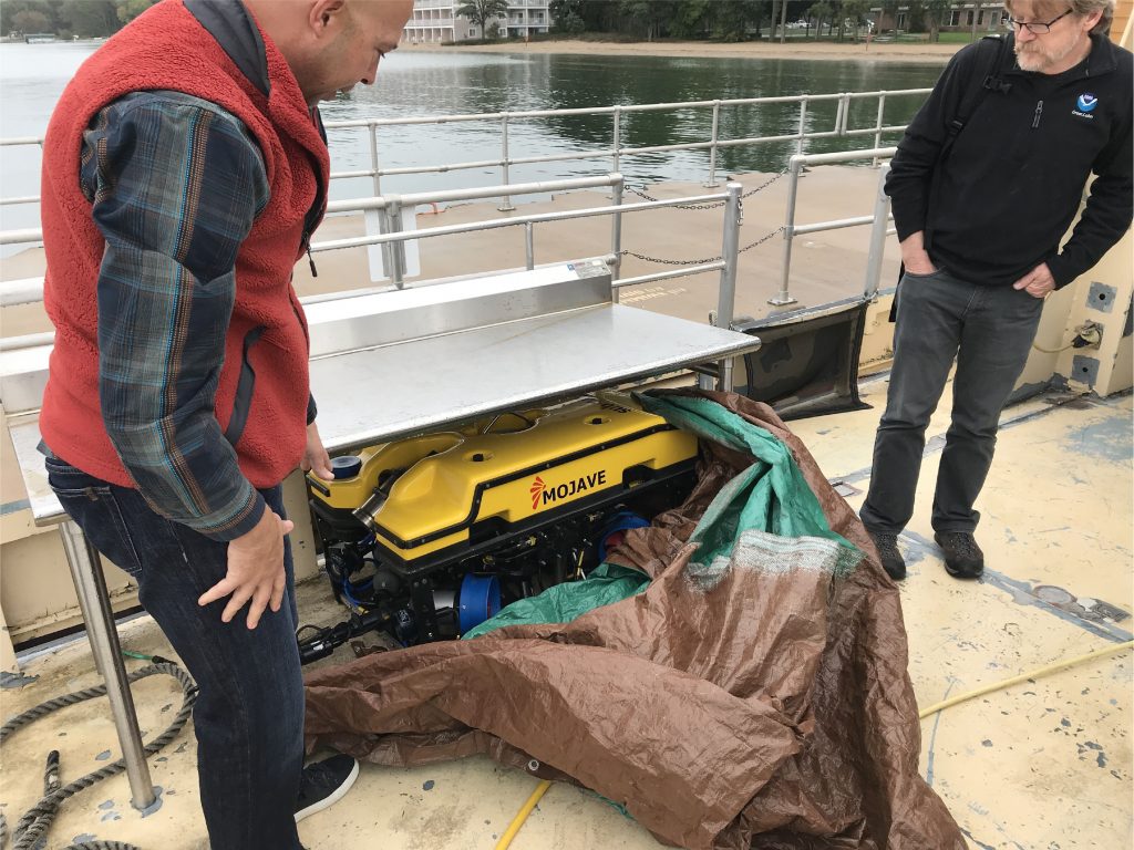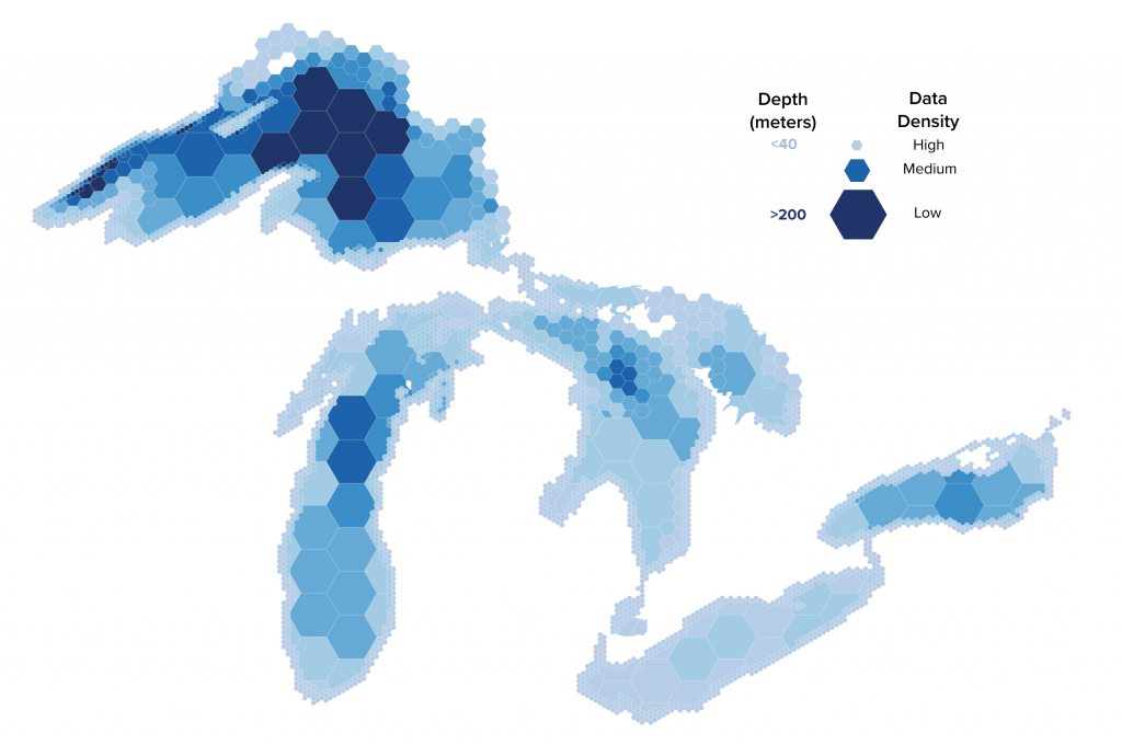
Map the Great Lakes
The objective of the Lakebed 2030 conference is to bring together science and research, policy, government, and industry professionals to:
- Focus on high-resolution mapping and bathymetry data in the Great Lakes.
- Work towards a strategy to catalog new and existing lakebed information for shared use.
- Share the latest technology advancements with the Great Lakes community.
Sponsored by Northwestern Michigan College, NOAA, and Great Lakes Observing System.