Observing
Observing helps understanding of environmental conditions, both right now and long-term, enabling informed decisions.
EXPLORE YOUR OBSERVING SYSTEM
The observing system stretches from sensors on the lakefloor to satellites in orbit.
Each observing platform is loaded with a custom set of sensors that monitor the water and air and send that data to the rest of the system, like nerves in the body.
Numerical models can generate forecasts for many water and air characteristics to help observers to understand the environment over large areas.
Data sources include:

Buoys and
Moorings

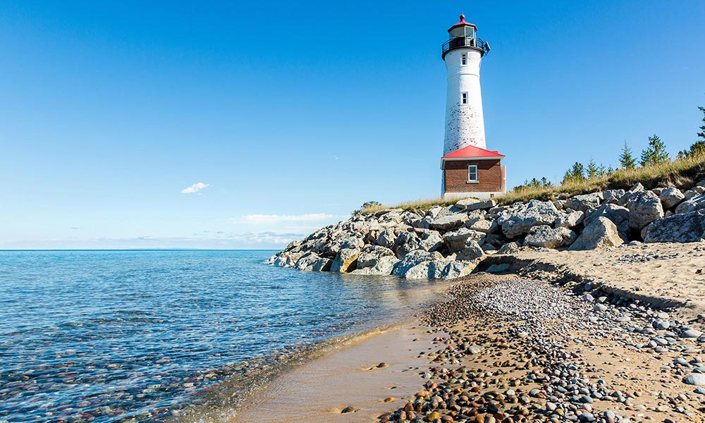
Shore-based
Systems

Uncrewed
Systems

Vessels of
Opportunity

High-Frequency
Radar

Satellites

Scientific
Models
GLOS partners with dozens of organizations to maintain the observing network, share data, advance technology, and more.


Observing or “obs” helps us to:
- Forecast dangerous lake events like rip currents
- Protect drinking water supplies from harmful algal blooms
- Help find the best places to fish, sail, or swim
- Monitor high lake levels and other effects of climate change
Observing information comes in all shapes and sizes to inform life on the lakes.

