By Xiaofan Zhang, GLOS Cyberinfrastructure Data Analyst Intern in 2021
Originally published on the Great Lakes Bottom Mapping Working Group
To help complete an open, high-density map of the lakefloor as part of Lakebed 2030, the Great Lakes Observing System (GLOS) is developing a pipeline for a largely untapped source of lakefloor depth data: crowd-sourced bathymetry (CSB).
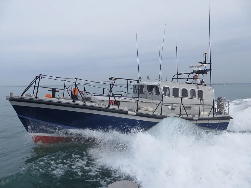
CSB is collected by non-research vessels, using standard navigation instruments that measure lake depth while engaged in routine maritime operations, whether that’s going out on a fishing trip in Lake Ontario, or transporting cargo across Lake Superior.
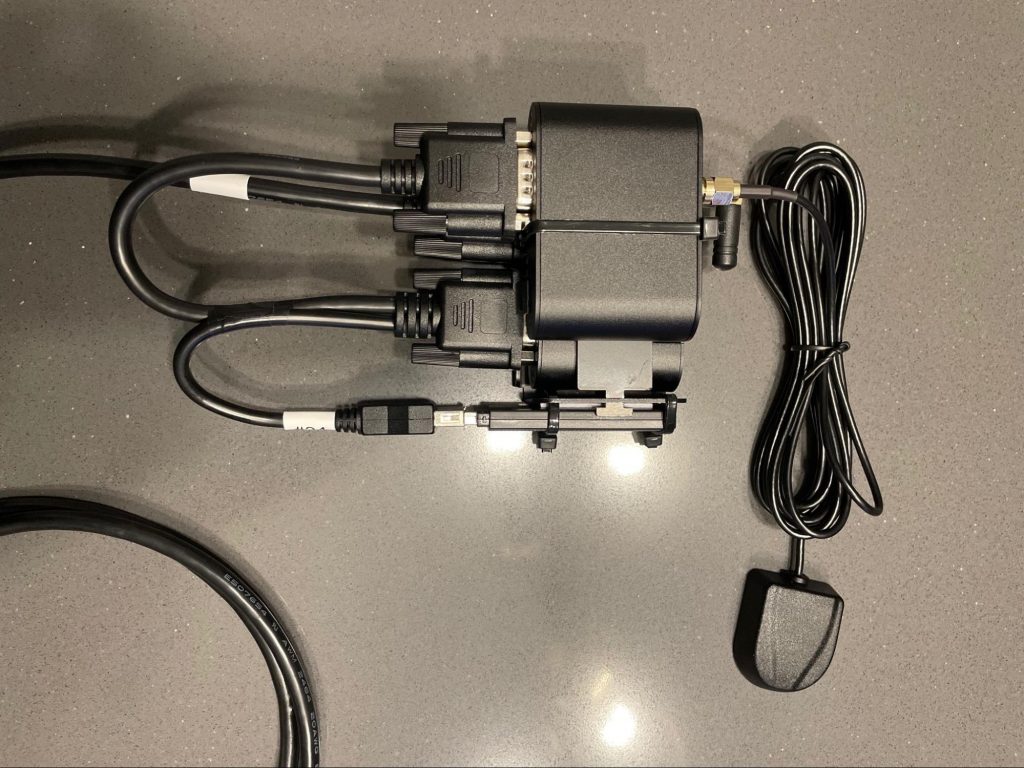
To make this easier for boat operators, GLOS funded Orange Force Marine to create the Mussel Kit—a small device that plugs directly into a boat’s electronics, connecting to onboard singlebeam echosounders that are part of fish finders or other navigation equipment. As the boat travels the lake, the device automatically sends depth, location, and other data to GLOS where it will be used as part of a publicly-accessible, continually updated map of the lakefloor.
And because GLOS was recently certified as a trusted node with the International Hydrographic Organization (IHO), data from participating boats will be shared with NOAA as part of the IHO Crowdsourced Bathymetry initiative.
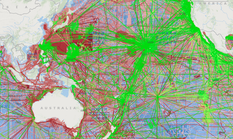
Several boats are already equipped with Mussel Kits, and Derek Niles, founder of Orange Force Marine, plans to add to several more boats by next summer. The team has already gathered some data around Port Stanley, Ontario on Lake Erie and Pickering, Ontario on Lake Ontario.
Research is currently underway to understand how accurate CSB data can be, but early indications are that, given enough vessels collecting CSB in one area, this data could be usable for most common applications of bathymetry like navigation, exploration, and habitat assessment. Once data reaches GLOS, data analysts will assess the data quality and begin ingesting, post-processing, and gridding it.
To learn more about efforts to map the lakes, visit lakebed2030.org and sign up for email updates.