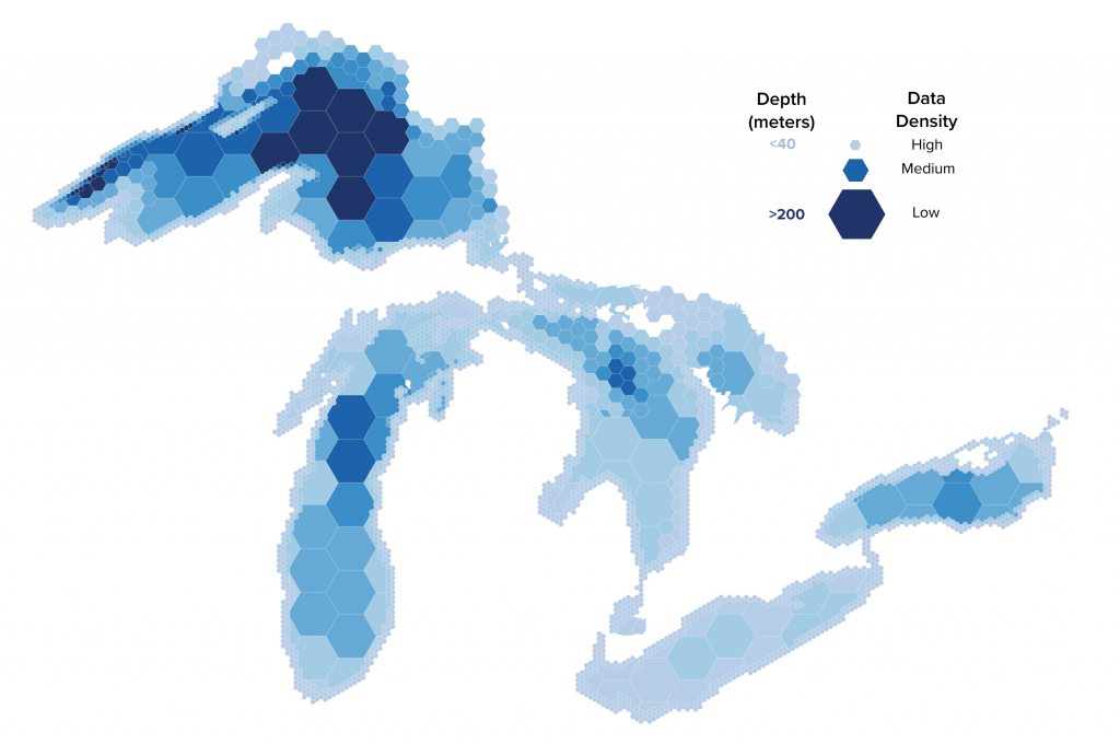
What will it take to map the lakes at high-density?
This fall, join other professionals in science and research, policy, government, and industry to:
- Focus on Great lakes marine mapping and bathymetry data.
- Develop a strategy to catalog new and existing lake bed information for shared use.
- Share the latest technology advancements with the Great Lakes community.
Momentum continues to build behind Lakebed 2030, the initiative to map the Great Lakes at high-density. This past year, partners across sectors continued to connect around the goals of mapping new areas, sharing data, and building a free, publicly accessible, highly detailed map.
With only 5% of the lakefloor mapped at high-density, there is a lot of exciting work to be done. This year’s conference theme is “Let’s dive in!” and will help connect leaders dedicated to the Lakebed 2030 vision.
