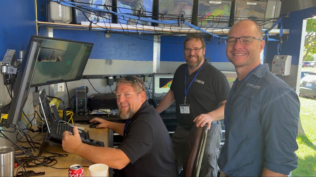
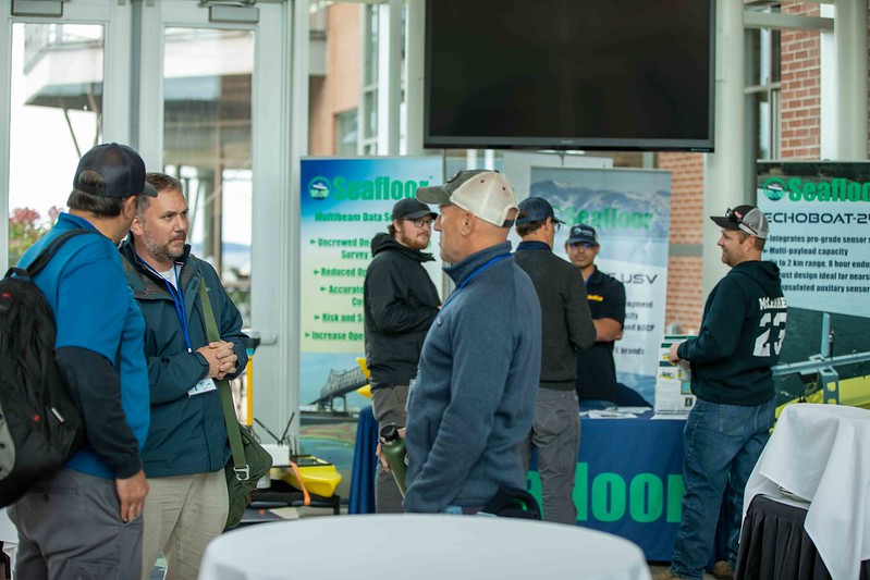
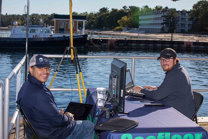
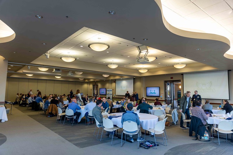
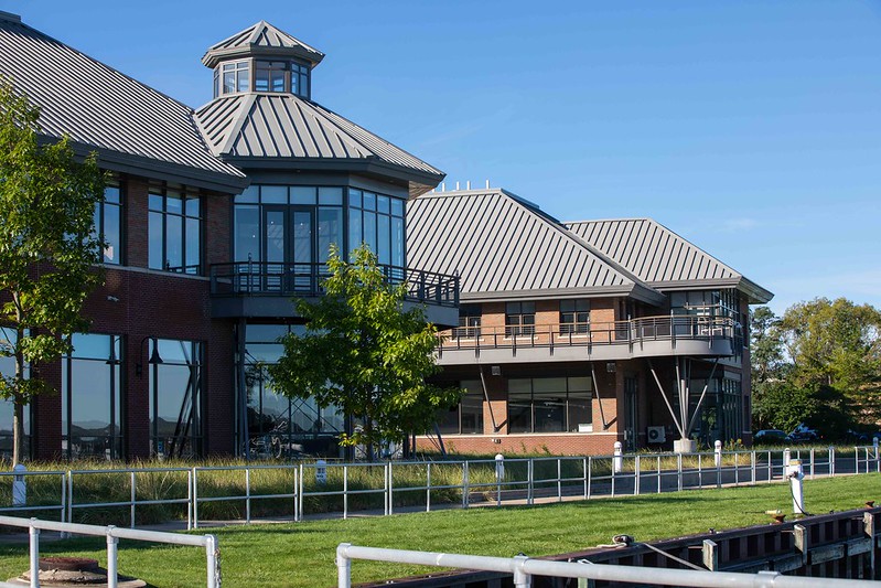
Late last month, GLOS attended the Lakebed 2030 conference in Traverse City, MI.
Hosted by Northwestern Michigan College (NMC) and organized by NMC, NOAA, Environment and Climate Change Canada, and GLOS, the conference gathered around 200 professionals to learn about the latest mapping efforts, new technologies, and continue to work towards mapping the remaining 85% of the Great Lakes at high-density.
A few highlights:
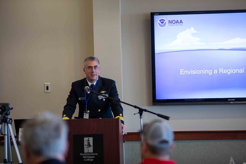
- NOAA efforts were prominently featured this year. NOAA’s Rear Admiral Benjamin Evans presented a keynote on the Office of Coast Survey’s ongoing efforts in the Great Lakes, including sending the NOAA Ship Thomas Jefferson to map here for the first time in decades.
- Denis Hains, from H2i, presented on the global hydrospatial movement and how it relates to Lakebed 2030.
- From GLOS, Tim Kearns presented on the current state of Lakebed 2030 and on GLOS efforts to bolster the initiative.
- Also from GLOS, Linden Brinks detailed the development of an interactive hex map layer for Seagull that will allow those contributing to the lakebed map to easily see unmapped areas.
- Students from NMC’s Marine Technology program attended talks and demos and networked with potential employers.
See the presentations | Download photos
