

Seagull
Seagull—a powerful, cloud-based platform for Great Lakes data and information
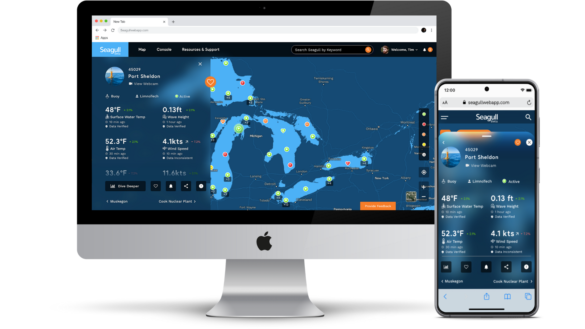
GLOS built Seagull to help connect people to the water like never before. A powerful, cloud-based platform, Seagull re-imagines how connected data becomes information and insights in peoples’ hands.
Seagull enables observers to:
- Understand live lake conditions and make informed decisions
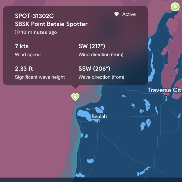
- Contextualize information using search, a beautiful map, and simple visualizations
- Easily connect a device or data source and share it with thousands of other people
- Track their buoy, sensor, or other observing platform in real-time
Seagull COAST
A New Mobile App for Great Lakes Coastal Safety
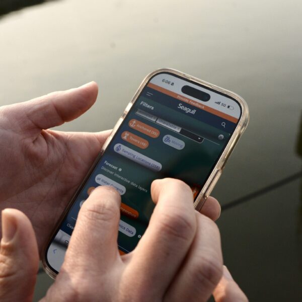
Seagull Coast is a new mobile application designed to help people make safer decisions when planning recreation in Great Lakes coastal areas.
With a user-centered design process that included workshops with recreational users and domain experts, surveys for requirements gathering, and multiple rounds of low-fidelity and high-fidelity design iterations, the app’s structure is informed by- and built for- the user.
Seagull Coast offers:
- Clear, easy-to-understand coastal safety information for recreational planning
- Identification of unsafe lake conditions that may impact activities such as boating, swimming, paddling, and shoreline recreation
- A mobile experience designed specifically for on-the-go decision-making
- Science-based data translated into actionable insights for everyday users
The app was launched in July of 2026. Download and test the free app for yourself!
A powerful, cloud-based platform
✅ Free to use and open to everyone
✅ User-inspired design
✅ The IOOS-certified data source for the Great Lakes

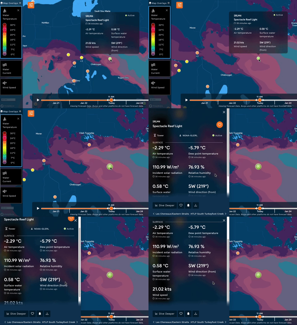
Check live conditions
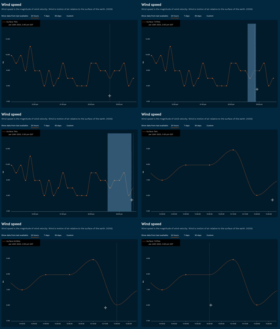
Discover lake trends
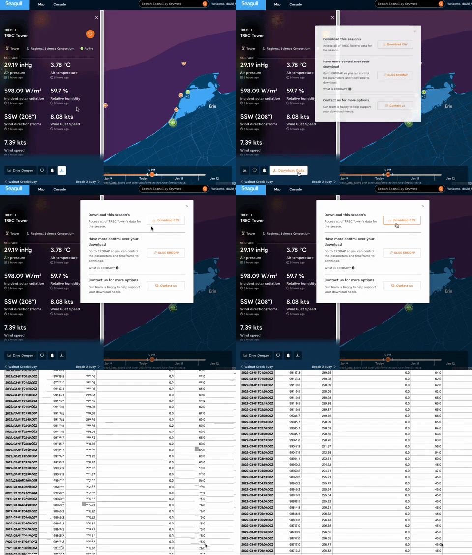
Download data
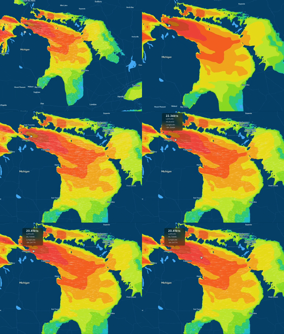
Check forecast models
Connecting your data to Seagull is easy and free.
Staff are here to help!
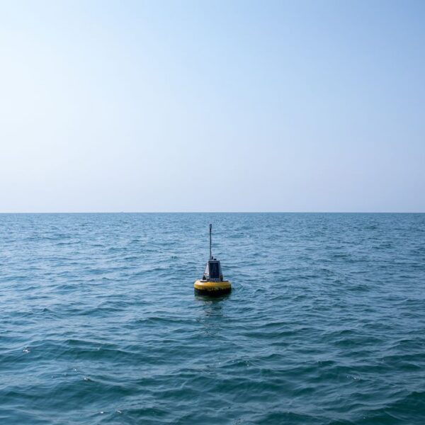
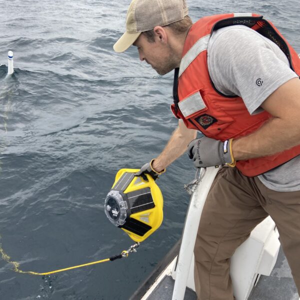
Deploying the Grand Marais buoy. Photo by Superior Watershed Partnership and Land Conservancy.




Share your Seagull story or let us know how we can help!
Has Seagull been your trusty co-pilot on the water or your weather-whisperer on shore? Squawk about it!
By sharing your story with us and helping us improve, you’re helping Seagull reach millions across the Great Lakes, keeping them safe and informed.
Let us know what you think or if you have any questions about the platform!
Seagull Vision
Some features described here are still in development. Subscribe to hear what we are working on.
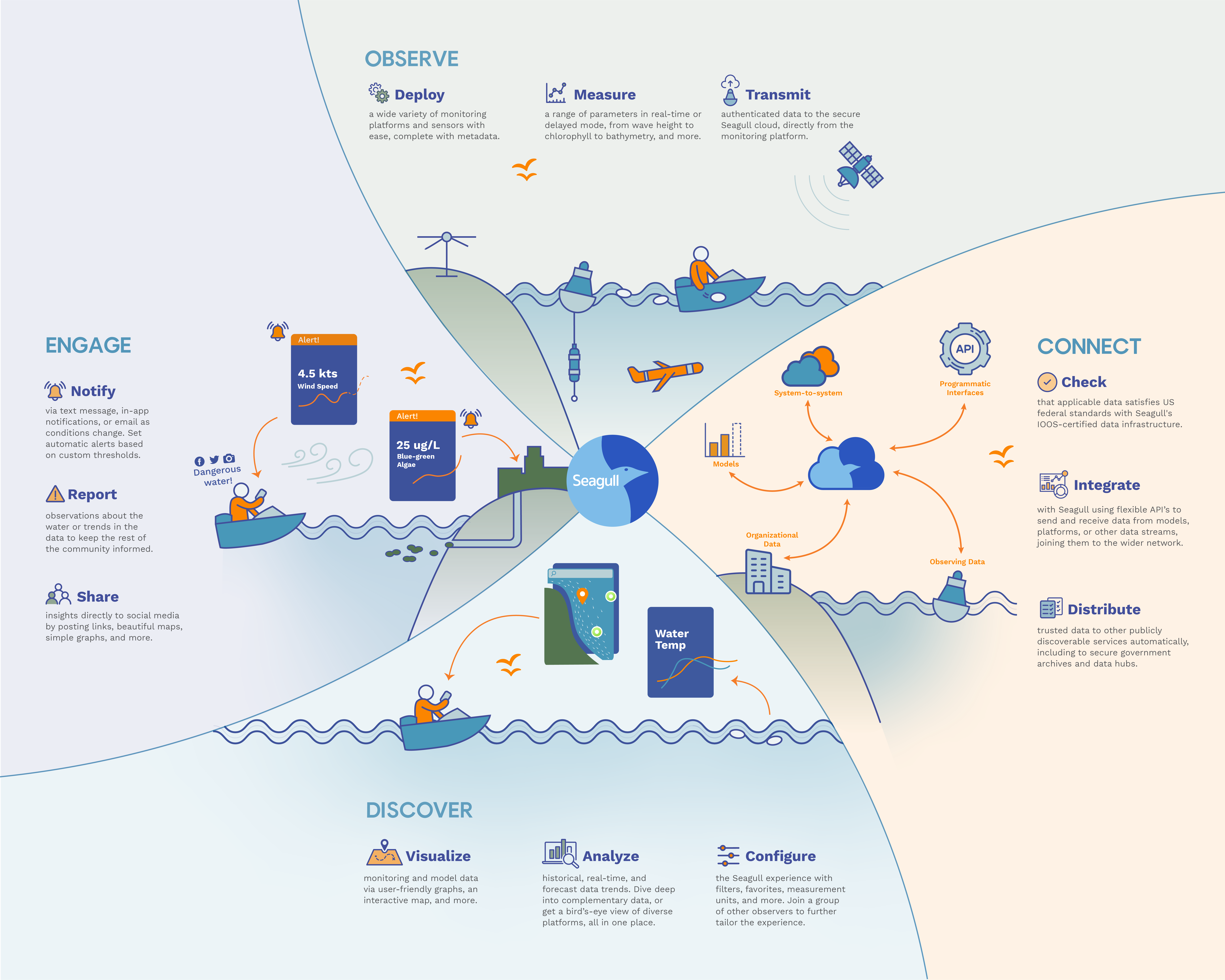
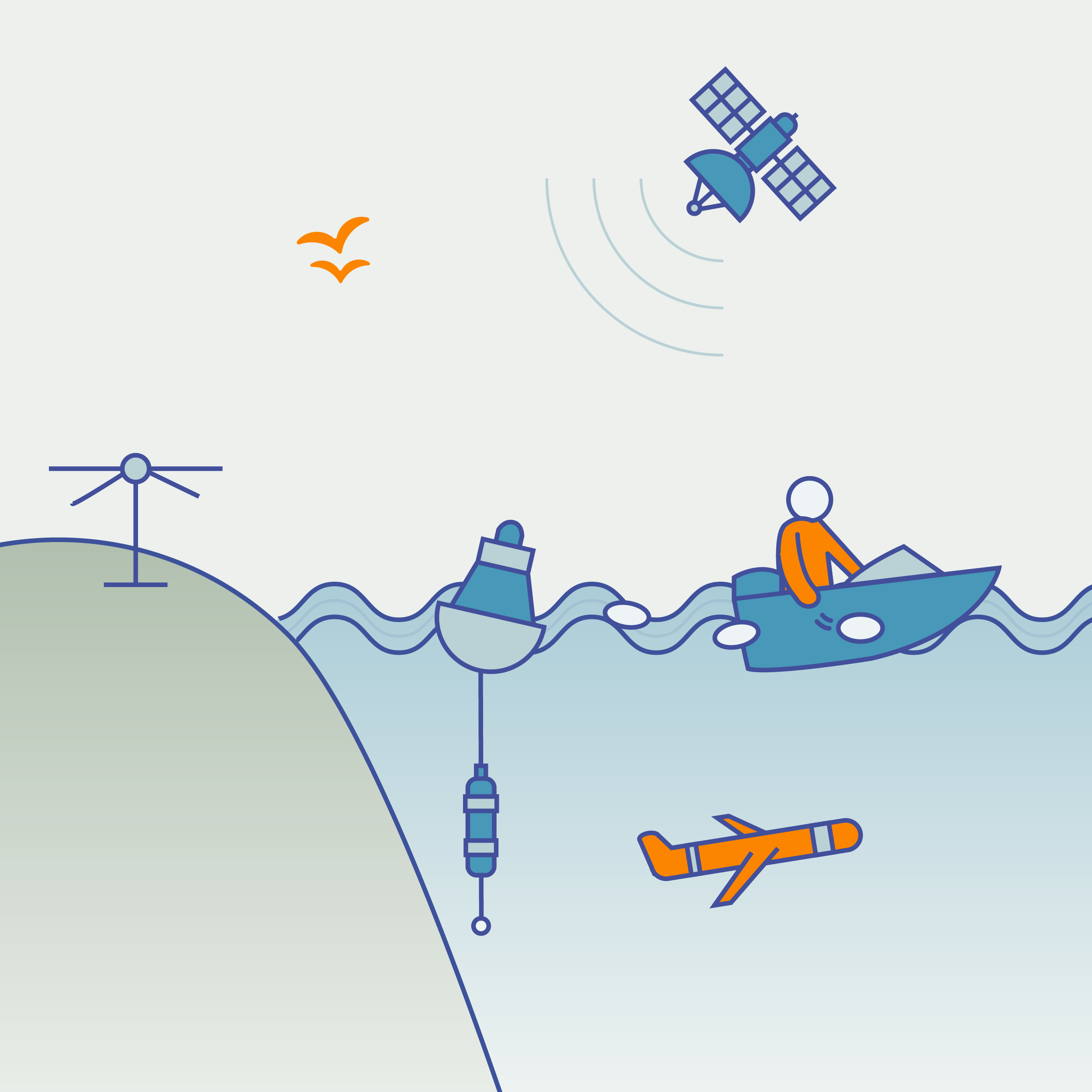
Observe
Deploy a wide variety of monitoring platforms and sensors with ease, complete with metadata.
Measure a range of parameters in real-time or delayed mode, from wave height to chlorophyll to bathymetry, and more.
Transmit authenticated data to the secure Seagull cloud, directly from the monitoring platform.
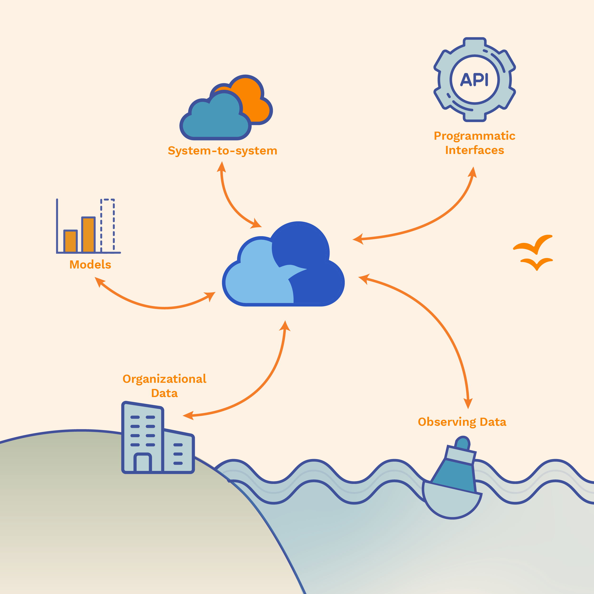
Connect
Check that applicable data satisfies US federal standards with Seagull’s IOOS-certified data infrastructure.
Integrate with Seagull using flexible API’s to send and receive data from models, platforms, or other data streams, joining them to the wider network.
Distribute trusted data to other publicly discoverable services automatically, including to secure government archives and data hubs.
Discover
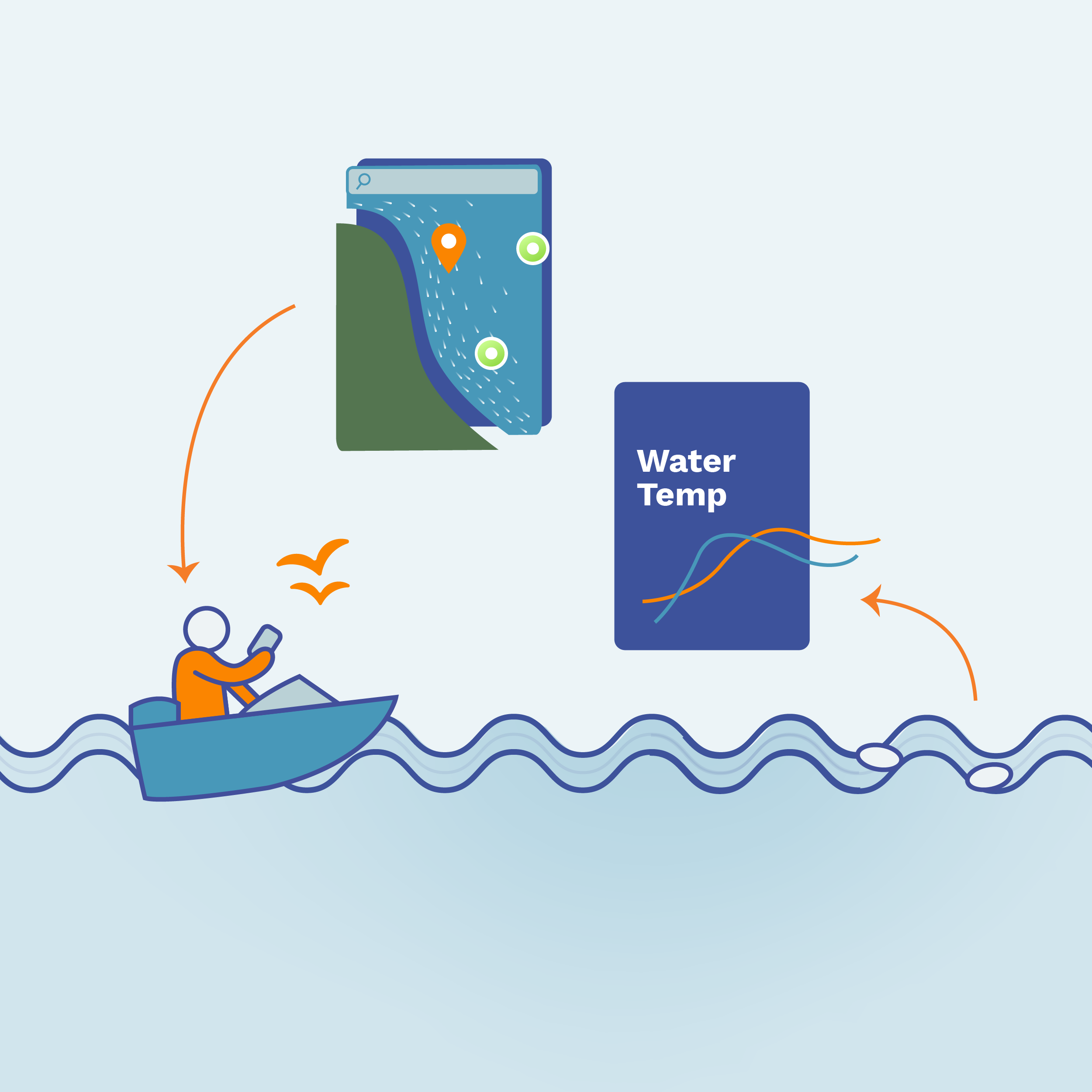
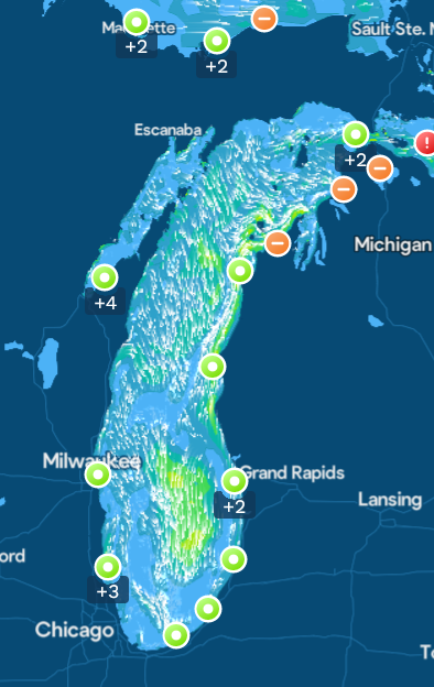
Visualize monitoring and model data via user-friendly graphs, an interactive map, and more.
Analyze historical, real-time, and forecast data trends. Dive deep into complementary data, or get a bird’s-eye view of diverse platforms, all in one place.
Configure the Seagull experience with filters, favorites, measurement units, and more. Join a group of other observers to further tailor the experience.
Engage
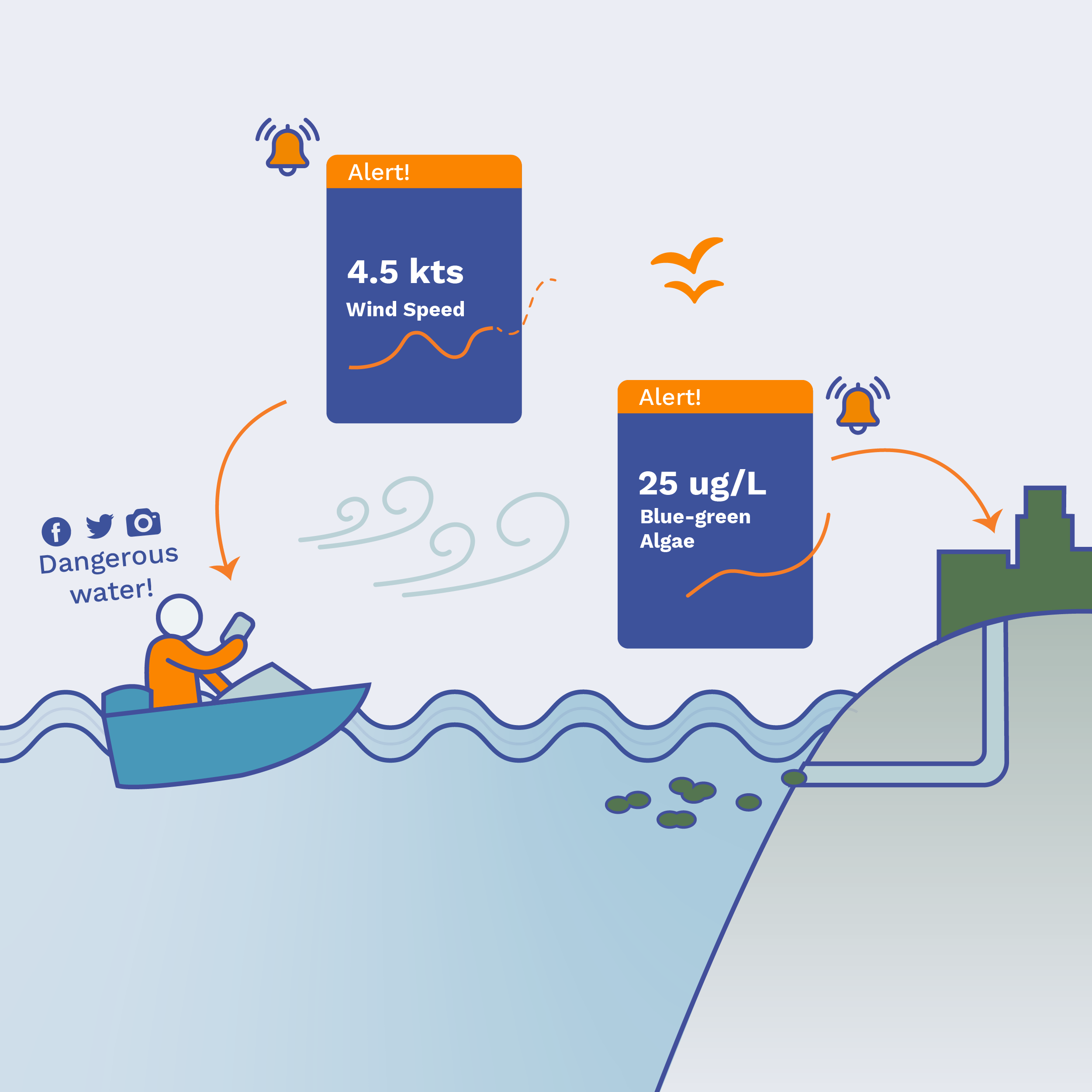
Notify via text message, in-app notifications, or email as conditions change. Set automatic alerts based on custom thresholds.
Report observations about the water or trends in the data to keep the rest of the community informed.
Share insights directly to social media by posting links, beautiful maps, simple graphics, and more.
Sign up to get emails about Seagull