
While a majority of the Great Lakes Observing System’s (GLOS) observing platforms are stationed on the five Great Lakes, there are several observing platforms located within interconnecting waterways and the watershed that provide important information for local stakeholders and regional experts.
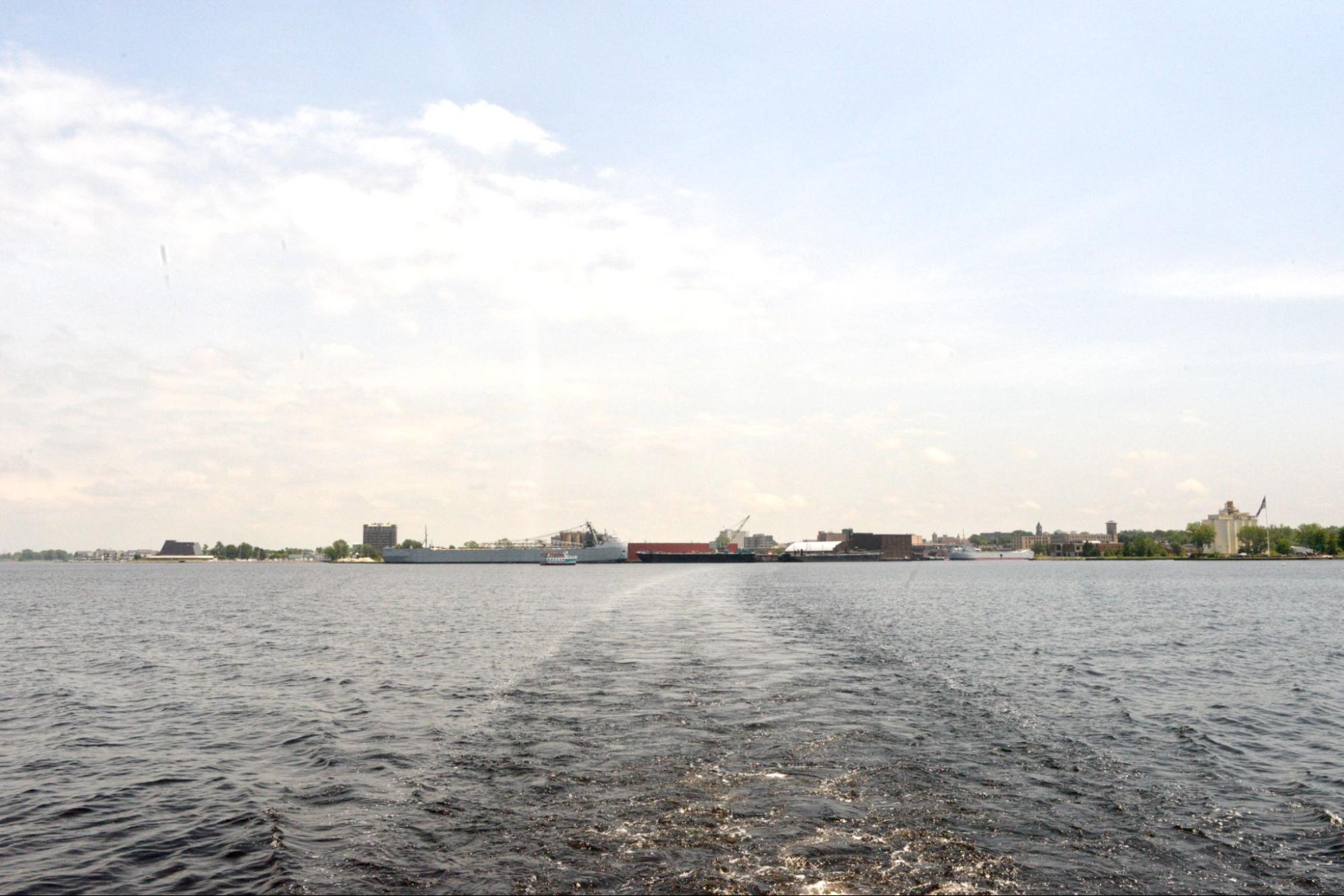
View of Heritage Landing from the GVSU research vessel D.J. Angus on Muskegon Lake in June 2026. Photo by Samuel Johnson, GLOS.
Muskegon Lake is an urbanized drowned river-mouth estuary with a highly productive fishery that connects Michigan’s second largest watershed to Lake Michigan. There are over 100 drowned-river mouth estuaries in the Great Lakes basin, with about two dozen occurring along west Michigan alone. However, Muskegon Lake experiences annual bouts of eutrophication, harmful cyanobacterial blooms, and bottom water hypoxia, and the timing and intensities of these recurring phenomena have been captured for over a decade by the Muskegon Lake Observatory (MLO) ran by the Annis Water Resources Institute at Grand Valley State University (GVSU).
Platform Name: Muskegon Lake Observatory
Platform ID: GVSU1
Owner/Operator: Grand Valley State University (GVSU)
Favorite school subject: Biology! Tracking diel changes in sunlight, water temperature, and dissolved oxygen in Muskegon Lake, and asking “How is the lake doing today?”
Preferred season: Summer, naturally.
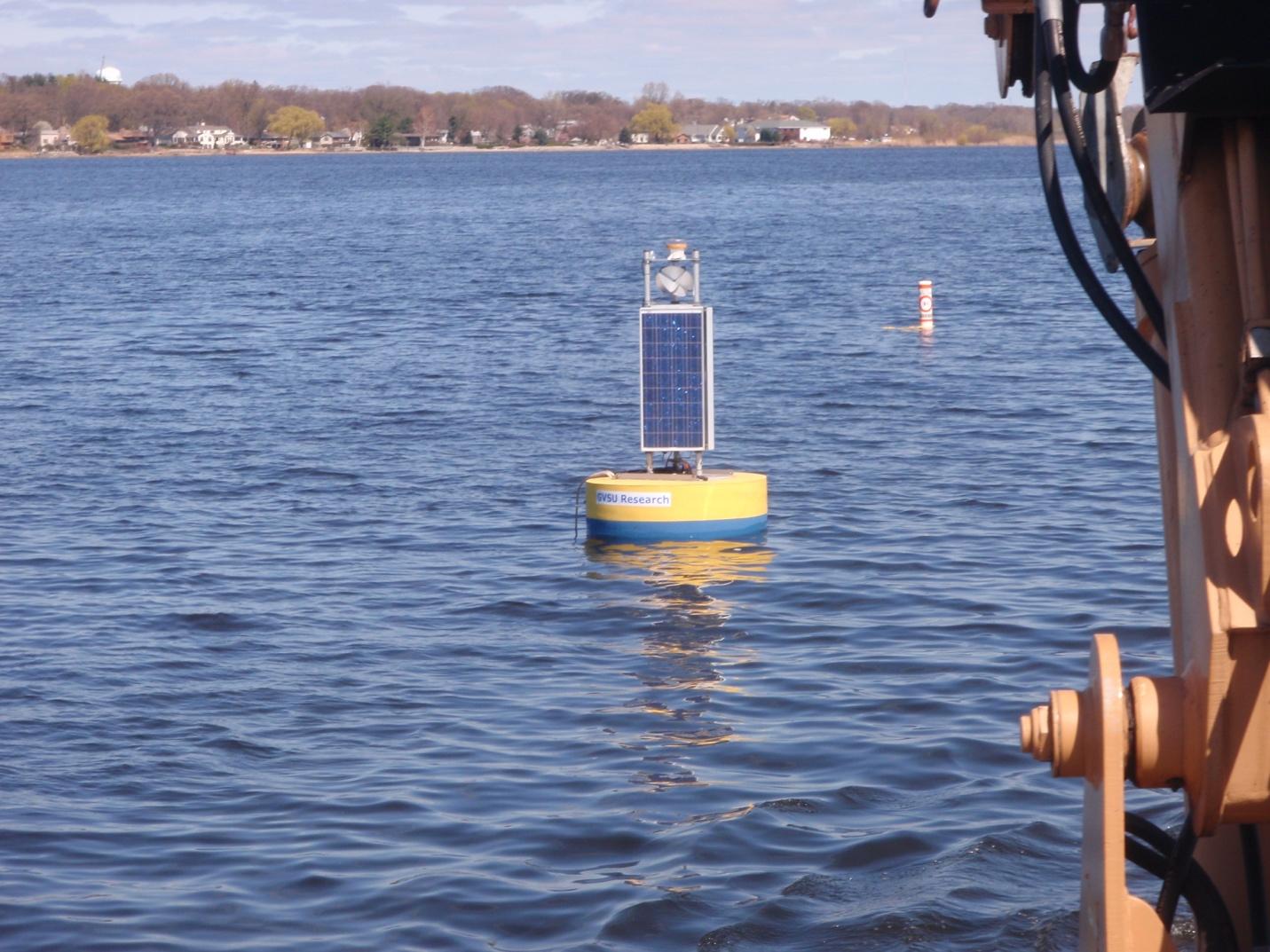
Muskegon Lake Observatory buoy in the middle of Muskegon Lake with a met tower on top and a sensor string dropping down to 13 m with multiparameter water quality sondes at 2, 5, 8, and 11 m (2011-2022, and 2026-. Photo by Bopi Biddanda, AWRI-GVSU.
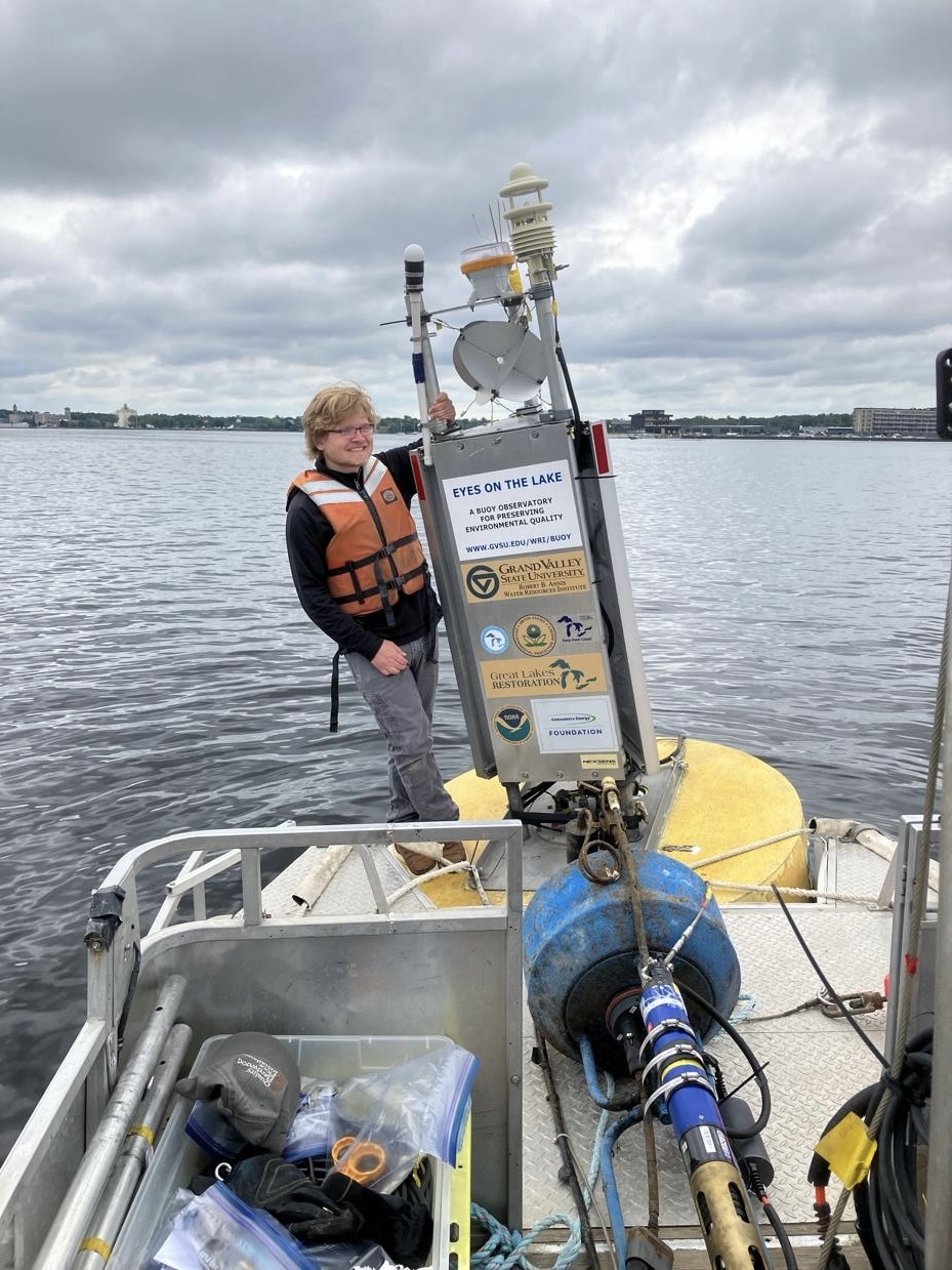
Muskegon Lake Observatory buoy maintenance run during 2026 in which the submerged buoy (blue) with sensor string is winched up for repairs. GVSU technician Andrei Skelly, is balancing on the main buoy that houses the meteorological tower, power, and communication capabilities. Photo by Bopi Biddanda, AWRI-GVSU.
MLO has been operational for almost sixteen years. The first twelve years as a buoy-based meteorological and water quality monitoring system, then in recent years (2022-2025), due to funding and equipment issues, as a pier-mounted water quality station (mini-MLO). With support from GLOS and Cooperative Institute for Great Lakes Research, GVSU was able to upgrade the observing system back to full capacity with a meteorological tower and water quality measuring instruments throughout the water column. I was deployed in June 2026 with assistance from NOAA-GLERL vessels (see coverage of this year’s deployment in Eos, American Geophysical Union).
“Muskegon Lake is a model urbanized Great Lakes estuary afflicted with the globally common problems of eutrophication, harmful cyanobacterial blooms, and bottom water hypoxia. High-frequency time-series data on meteorological and water quality conditions in Muskegon Lake help us understand ongoing changes in this still troubled estuary, and plan for effective remediation. Observatory’s findings here and the progress we make will be of value to other similarly afflicted freshwater bodies in the Great Lakes and elsewhere”
– Bopi Biddanda
GLOS values AWRI-GVSU’s commitment to this long-standing time series and is happy to be a part of making Muskegon Lake data publicly accessible.
Find the data for MLO on Seagull, annually from May through October.
Special thanks to Bopi Biddanda, AWRI-GVSU, for writing support and providing photos.
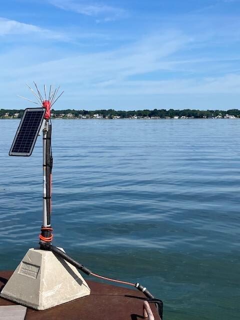
Mini Muskegon Lake Observatory at the end of the AWRI Pier in SE Muskegon Lake. Photo by Bopi Biddanda, AWRI-GVSU.