By David Fitch, Great Lakes Observing System
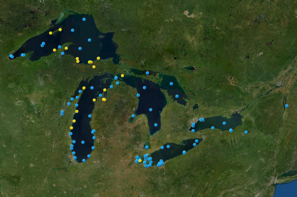
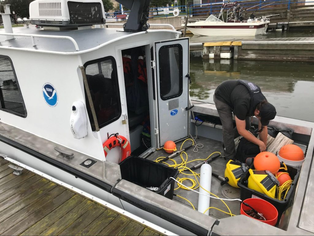
Every spring as the ice melts, from Duluth, Minnesota on Lake Superior to Kingston, Ontario on Lake Ontario, technical personnel from many regional Great Lakes organizations take to the water to deploy a fleet of buoys and other monitoring platforms that are critical to understanding the lakes’ water and meteorological conditions.
These five North American lakes boast a combined 11,000 miles of coastline and contain 20% of the earth’s surface freshwater—90% of the United States’ supply. Besides being a drinking water supply for nearly 50 million people, the whole Great Lakes-St. Lawrence River navigation system is the lifeblood of a $5 trillion regional economy.
The Great Lakes Observing System (GLOS) helps keep an eye on the lakes by collecting, analyzing, and sharing data and information on lake and watershed conditions. In collaboration with a large network of regional partners, GLOS supports a region-wide observing system of monitoring platforms, most of which are moored buoys deployed from roughly April through November, depending on weather conditions.

The buoy network measures various physical and biogeochemical parameters that help take the pulse of the ecosystem’s health. This wellness check helps scientists understand hydrodynamic as well as meteorological conditions, and enables researchers to assess the impact of a variety of environmental stressors. And for thousands of natural resource managers, drinking water treatment plant managers, beachgoers, anglers, and ship captains, the data provided by these monitoring platforms are a critical information source that helps them make informed decisions and protect the resource.
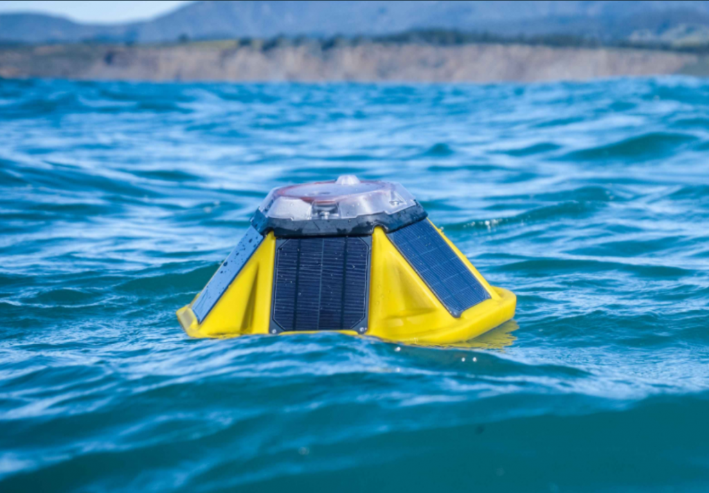
In early spring of 2020, as social distancing, travel restrictions, lockdowns, and other COVID-19 related measures were put into effect, many organizations found it very difficult, if not impossible, to deploy their large, labor-intensive buoys. Most moored buoys in the Great Lakes require significant time and financial investment, a highly qualified team of technicians, scientists, and engineers, as well as mid-size vessels for deployments and retrievals. For this reason, several labs turned to small, lightweight, and relatively easy-to-deploy options, like Sofar Ocean’s Spotter buoy.
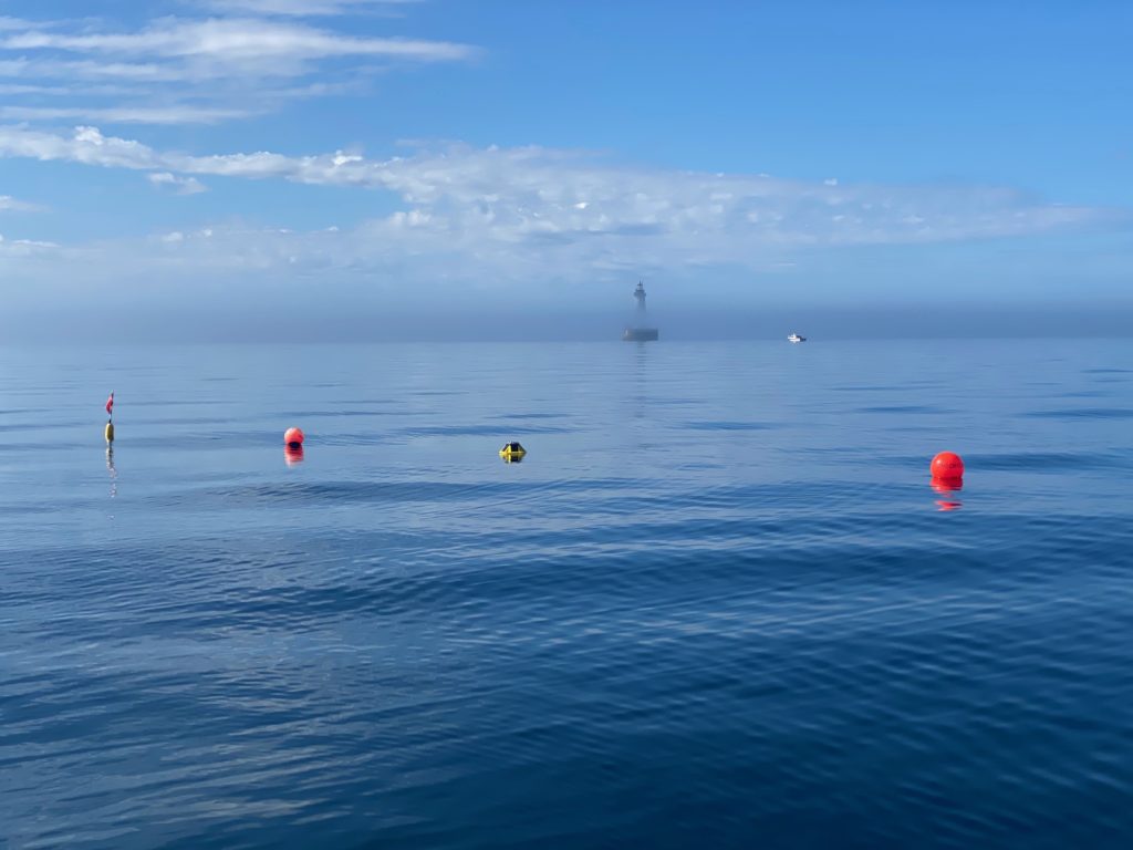
This 2021 field season has seen a growing interest in this type of observing platforms from federal, state, and local organizations interested in lakes users’ safety. GLOS is supporting multiple partners including Michigan Technological University, Northwestern Michigan College, Superior Watershed Partnership and Land Conservancy, NOAA Office of National Marine Sanctuaries, and the Cooperative Institute for Great Lakes Research to procure and deploy additional Sofar Ocean’s smart moorings around the Great Lakes. Some are being placed near ferry routes and others near popular recreational areas to provide lake enthusiasts, anglers, and recreational and commercial boaters with real-time lake conditions that can help plan for safe navigation and lake outings.
“The Sofar Ocean Spotter buoys give us a new tool in monitoring, and reporting to the public, the conditions on the Great Lakes,” said Andrew Barnard, director of Michigan Tech’s Great Lakes Research Center. “Their small size, relatively low cost and ease of deployment make them attractive solutions for difficult locations, like at Stannard Rock or at Isle Royale. The Great Lakes Research Center is happy to partner with Sofar and GLOS to bring more observations to the Great Lakes to help improve ecosystem monitoring, weather models, boater and swimmer safety, and public science awareness.”
And across the marketplace, smaller, simpler, and cheaper buoys are becoming more commonly available from a variety of manufacturers. In addition, GLOS is supporting research groups at the University of Wisconsin-Milwaukee and at the University of Minnesota-Duluth, to design and build compact, low-cost, open-source buoys and sensor arrays that can be easily deployed, are simple to operate, and can carry a large suite of meteorological, as well as physical and water quality sensors. These systems will soon join the around 30 Spotter buoys that are now helping monitor water conditions around the Great Lakes.
“A lesson from 2020 is that having multiple observing tools in our toolbox can create a more sustainable and resilient regional observing system,” said Ana Sirviente, GLOS Chief Technology Officer. “Effective observing systems should integrate large and small platforms, simple and complex observing systems, and redundancies as needed, to help meet basic data and information needs continuously.”


