Image by NOAA and Voyis
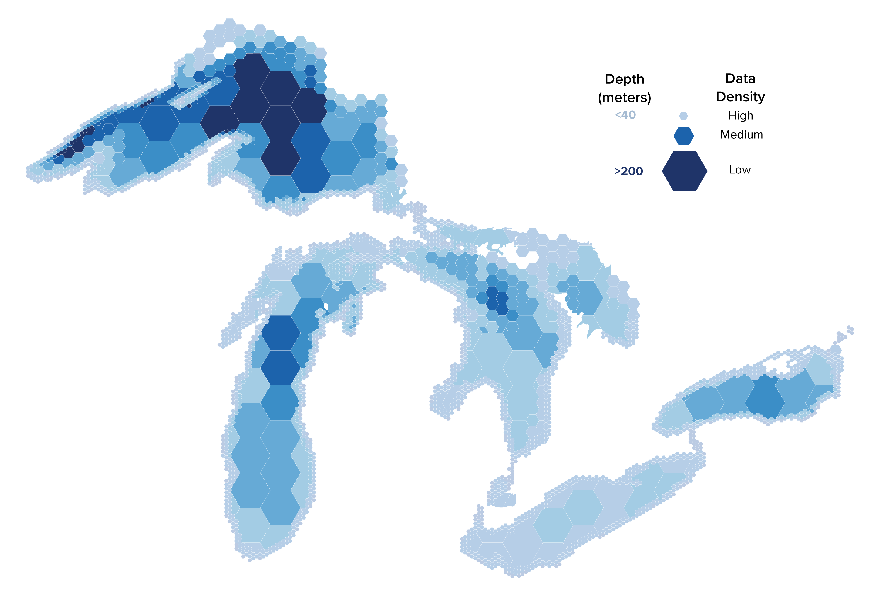
Over the past three years, Lakebed 2030 has grown from a grassroots effort by a handful of individuals to an established movement and network of organizations and people who want to see the remaining 85% of the lakebed mapped at high-density.
Through networking efforts like the annual Lakebed 2030 conference and developing communication tools like the Lakebed 2030 poster and Costs and Approaches for Mapping the Great Lakes, partners including Northwestern Michigan College and the Great Lakes Observing System have elevated the need for a completed map to the international stage.
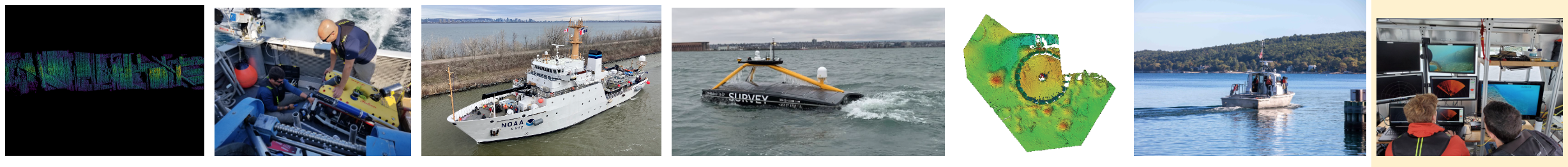
With partners ready to start mapping, Lakebed 2030 needs funding to pay for ship time, data processing, and more. To that end, we partnered with Great Lakes Outreach Media to create a video to help raise awareness of the need, showcase technologies used in this effort, and demonstrate the value of mapping the Great Lakes.
Would you help us make this video a reality? We’re looking for sponsors to help offset the cost for the video. We would also be interested in showcasing new technologies and ongoing projects in the region.
In return for your contributions you and your organization will receive complimentary GLOS and Lakebed 2030 stickers, advertising through the video and sponsorship listing on the Lakebed 2030 website. You will also receive recognition in the credits and a first look at the final production before release.
Donate to support the Lakebed 2030 video
Please contact underwater@glos.org if you’d like to learn more. With your help, we can further elevate Lakebed 2030 and gather funding to complete the map of these incredible lakes!