For immediate release: Friday, March 22, 2024
Contact: info@glos.org
GLOS Chief Executive Officer Jennifer Boehme Testifies before House Natural Resources Committee, Subcommittee on Water, Wildlife and Fisheries
On Thursday, March 21, 2024, the U.S. House Committee on Natural Resources, Subcommittee on Water, Wildlife and Fisheries held a hearing to learn more about proposed legislation related to marine systems. The Great Lakes Mapping Act, H.R. 7020, was one of four bills being discussed.
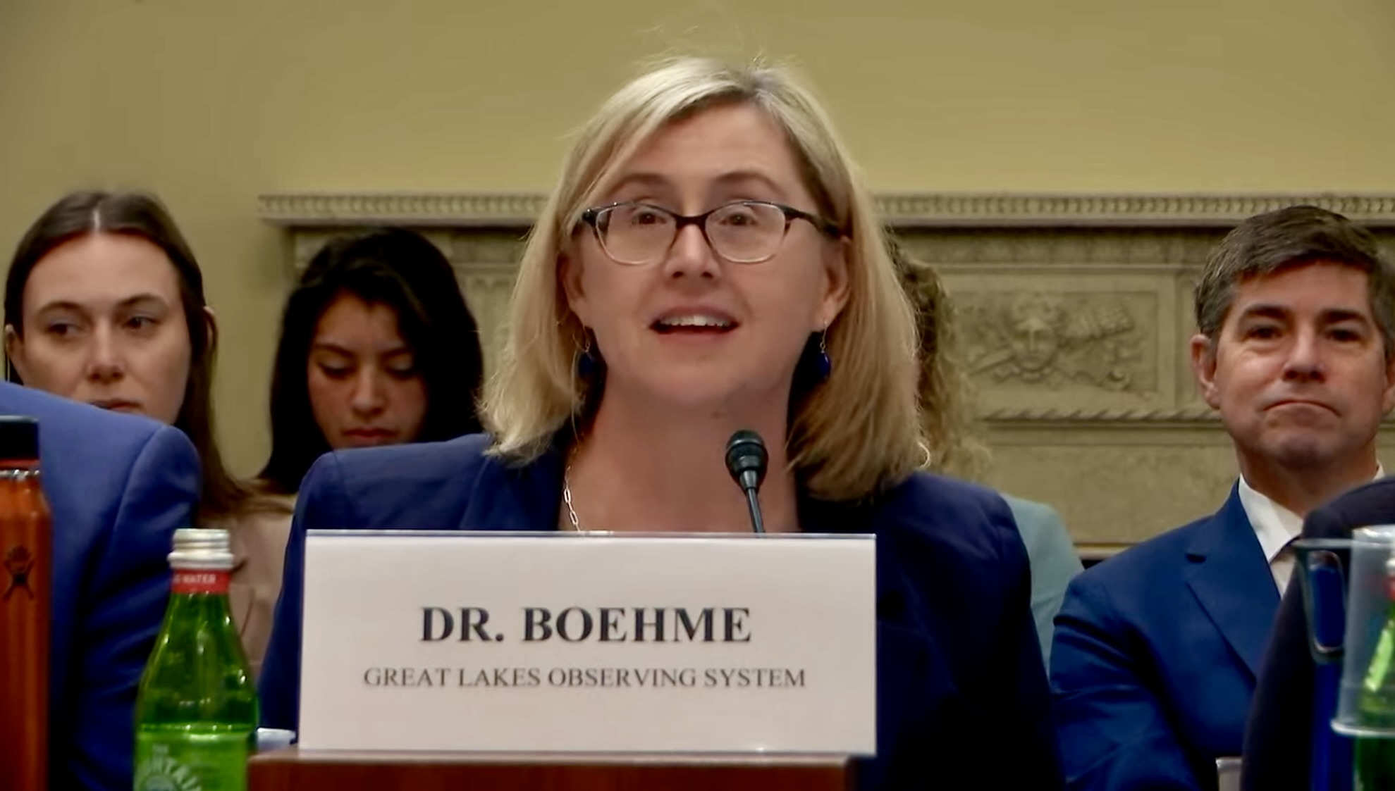
Jennifer Boehme, CEO, GLOS, provides testimony before the U.S. House Natural Resources Subcommittee on Water, Wildlife and Fisheries on March 21, 2024.
The Great Lakes Mapping Act would direct the National Oceanic and Atmospheric Administration (NOAA) to conduct high-resolution mapping of the lakebeds of the Great Lakes. The bill would authorize $200M in appropriations and would require the agency to complete the mapping project by 2030. Throughout this process, NOAA would work with consulting bodies and the regional association, the Great Lakes Observing System (GLOS), of the Integrated Ocean Observing System (IOOS) to map the lakebeds and make the resulting data and map products accessible to the public.
Representatives Lisa McClain (MI, 9) and Debbie Dingell (MI, 6) introduced the Great Lakes Mapping Act on January 17, 2024, to amplify existing efforts with additional resources. The overall mapping endeavor seeks to provide a better understanding of the unseen, unexplored lakebeds of the Laurentian Great Lakes, and further our knowledge of their environmental, social, and economic impact.
Water, Wildlife and Fisheries Subcommittee Legislative Hearing on H.R. 1395, H.R. 5487, H.R. 6814 and H.R. 7020
Great Lakes Mapping Act Highlights:
As the Congressional sponsor of the Bill, Congresswoman Lisa McClain introduced the Great Lakes Mapping Act and described the overall mapping endeavor, and its benefits which, McClain stated, “will enable exploration, yield valuable discoveries, enrich lake knowledge, and inform efforts to protect our Great Lakes.” McClain then introduced and thanked GLOS CEO Jennifer Boehme pre-testimony:
“Dr. Boehme has cultivated a broad range of knowledge and expertise on the Great Lakes that is very much appreciated and very much needed. Under her leadership, GLOS is pursuing its Lakebed 2030 campaign to map the lake beds of the Great Lakes by 2030. I am so glad to be working alongside her and her organization in pursuit of this goal, through the Great Lakes Mapping act being discussed here today. Thank you very much, Dr. Boehme, for being here and for your testimony today. And for your commitment, most of all, to the Great Lakes.”
Key Quotes from Boehme’s Testimony:
- “GLOS provides critical data such as weather information, water characteristics, wind, wave and water patterns, and biological and chemical parameters that inform key business policy and public health decisions in the Great Lakes. Underpinning all of these observations is a lake floor itself, an area woefully lacking in up-to-date high-density data collected to modern standards.”
- “It may sound cliche, but it’s true, we know more about the surface of Mars than we do about our own planet. With only 13% of the US Great Lakes waters map to modern standards, we know surprisingly little about the world’s largest freshwater ecosystem that serves tens of millions of people and supports a massive economy. Meanwhile, we have nearly complete coverage of the surface of Mars at a higher density than exists for the Great Lakes. That’s downright embarrassing.”
- “The Great Lakes Mapping Act seeks to increase data density by a thousandfold in many parts of the Lakes, dramatically improving our ability to manage and protect this vital resource.”
- “Researchers around the lakes are working hard to understand the full impact of environmental and public health threats such as pollution of our drinking water, and increasing invasive species that affect our fisheries. In order to do that, they need the full picture: water depths, lake bed configurations, shoreline delineations, so that they can assess the true size and scale of impacts and then recommend scientifically sound resilience and adaptation strategies to local decision makers.”
- “The Great Lakes Mapping Act seeks to reverse course and chart a new direction for fully mapping the underwater environment of the Great Lakes. This is a game changer for understanding of an ability to support and manage the people and industries that rely on them.”
- “The bill has two primary goals. The first is to use new and improved technologies to comprehensively survey the Great Lakes to modern standards and in high density. This activity includes the collection, processing and bathymetric construction of a high resolution digital elevation model of the lake beds. The second primary goal of this bill is to ensure widespread equitable access to the data so everyone can benefit.”
- “GLOS as the IOOS Regional Association will work with NOAA and its partners to build and release integrated high resolution maps and digital elevation models. Based on the work undertaken by GLOS and assessments done by three separate survey companies. The estimated total cost for this effort is $200 million, the amount authorized in this bill. Mapping the Great Lakes can ultimately help the economic transformation of the region from the Rust Belt to the Blue Belt.”
- “This type of mapping data and information is considered a foundational dataset, meaning it is essential data to have in order to understand geospatial context, make decisions, realize opportunities and plan investments. The direct economic benefits from better supporting a commercial fishery, commercial shipping and transportation, growing tourism and recreation, protecting infrastructure and coastline, growing and retaining a workforce that stays in the region, while growing the blue economy, are significant.”
- “If passed, the Great Lakes Mapping Act would bring our region up to par with other US coastal areas. The return on investment for mapping the Great Lakes benefits America, the American people, American business, and, perhaps most importantly, the future of our Great Lakes.”
Following the testimonies, co-sponsor of Mapping the Great Lakes Act, Michigan Representative Debbie Dingell, asked Boehme to describe how Americans might benefit from the up-to-date mapping of the Great Lakes. Boehme highlighted how better mapping would protect drinking water pipelines on the lakes, which provide the source of drinking water for approximately 30 million people. Better maps also provide for better access: for recreation by anglers, swimmers, and boaters, and for industry, with commercial fishing and shipping.
The subcommittee Chairman, Representative Cliff Bentz (OR, 2), also questioned Boehme about the value of mapping activities. Boehme stressed the benefits of better models to predict hazards like coastal flooding and other storm impacts in order to plan protections for coastal communities. Representative Bentz requested a supplemental list of benefits as a Question for the Record.
In her testimony, Boehme highlighted the value of regional partnerships to support investment in mapping the Great Lakes. A complete mapping of the lakebed would increase understanding of the lakes’ response to a changing climate, support Great Lakes jobs and economies, enable discoveries, both human and natural, and improve models of coastline erosion that impacts our Great Lakes communities.
For a full viewing of the hearing and to access the submitted files for GLOS’ and the others’ testimonies visit: https://naturalresources.house.gov/calendar/eventsingle.aspx?EventID=415730
![]()
Great Lakes Observing System
4840 South State