Uncrewed Systems
Today, we can monitor the lakes from the air, on the water, and even underwater, without a human onboard.
Uncrewed systems (UxS) can monitor the lakes where and when humans cannot, and cost less than crewed missions.
Underwater
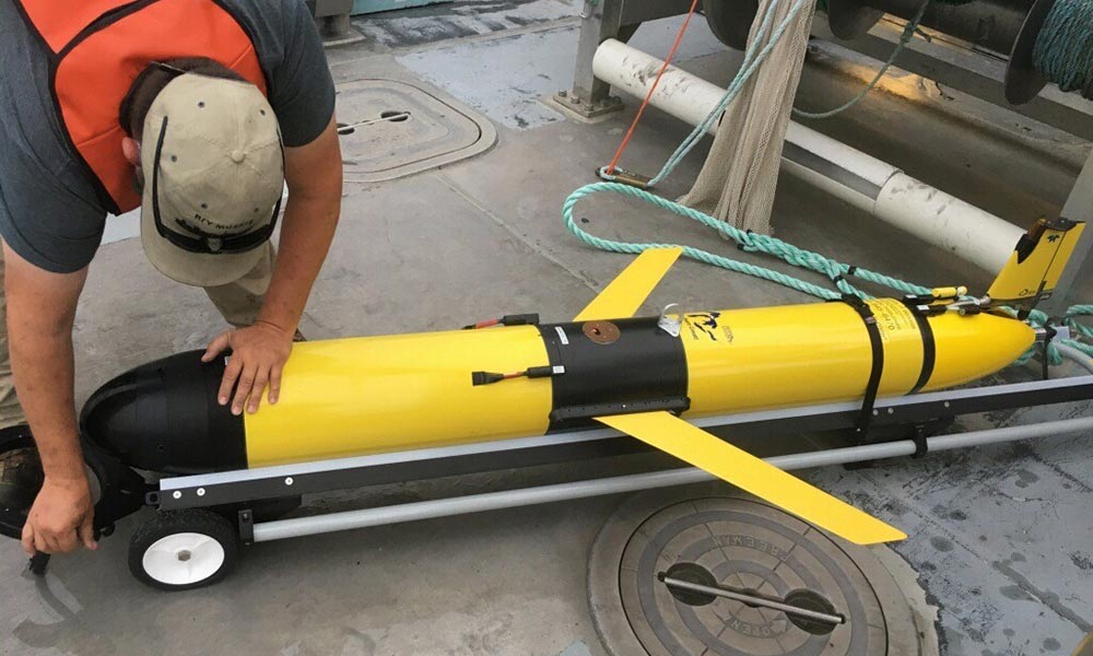
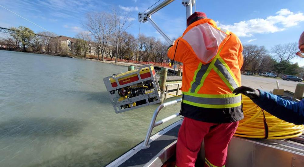
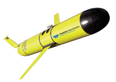
For example, yellow, torpedo-like underwater gliders take measurements in remote locations and during dangerous conditions. And remotely operated vehicle (ROV) often are tethered to a nearby boat and are used to take measurements or scans of underwater features, like shipwrecks.
Gliders, increasingly used in the Great Lakes change their buoyancy to “fly” through the water. Photos by (left) Russ Miller, Cooperative Institute for Great Lakes Research (CIGLR) and (center) Balearic Islands Coastal Observing and Forecasting System (SOCIB)
How does it move? First, a glider sucks water into the nose cone to sink, pulling itself down and forward. It then jettisons the water so it can float back up and forward.
Technicians program these gliders with a “mission,” telling them where to go and how often to send data. Then they slide them off the decks of vessels, sometimes sent to travel 1000 kilometers (621 miles) over the course of months.

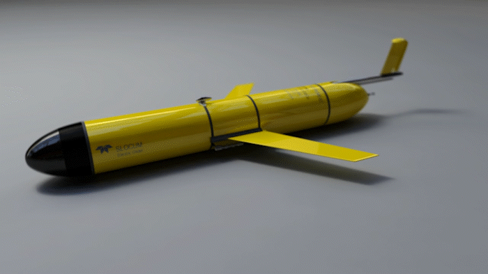
Slocum G2 Glider
Vehicle Name: glos_236
Model: Teledyne Slocum G2
Onboard: Seabird CTD, Wetlabs ECO Triplet (chlorophyll A, backscatter, and CDOM), PAR, fast-response dissolved oxygen sensor, rechargeable lithium-ion battery
Max depth: 200 meters
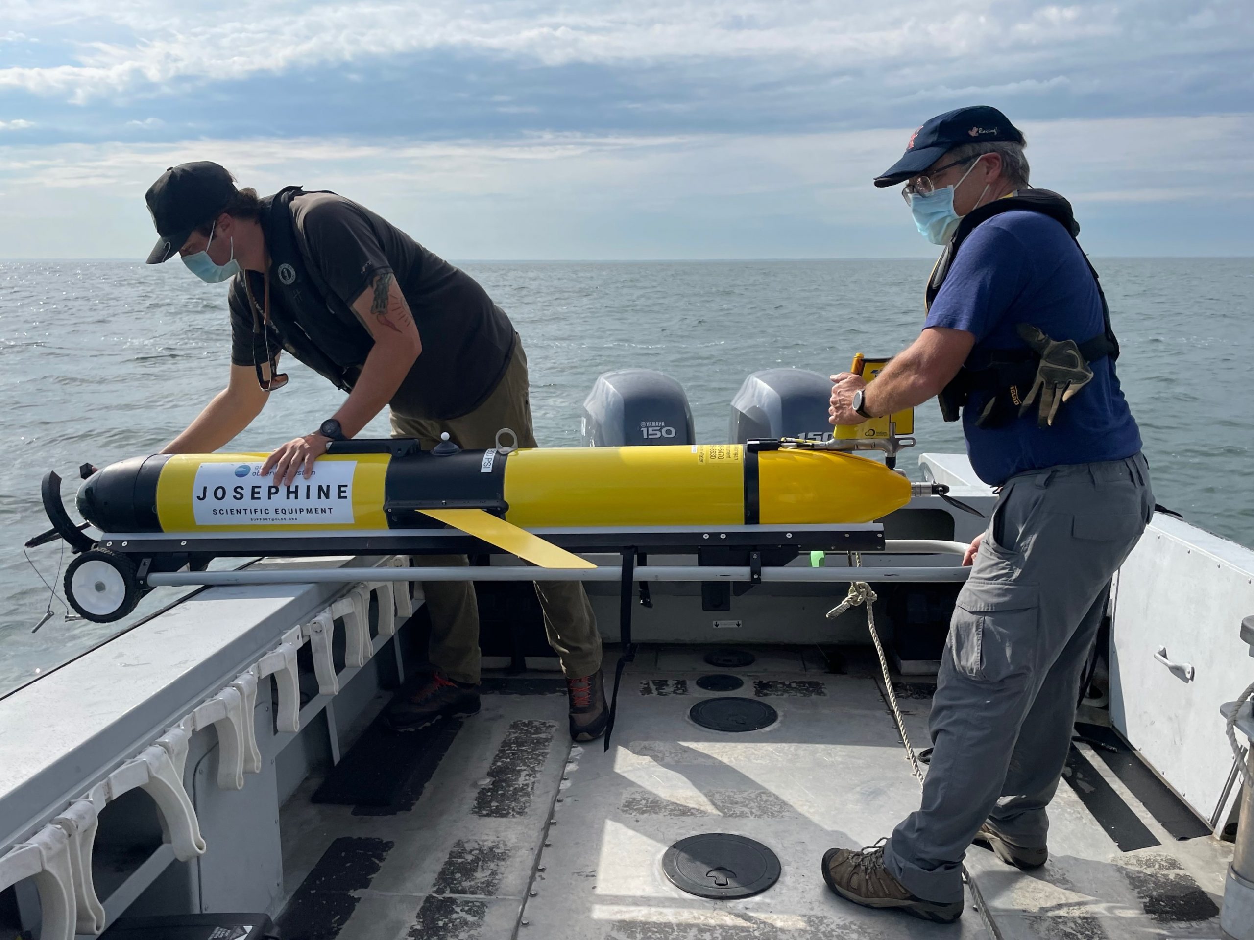
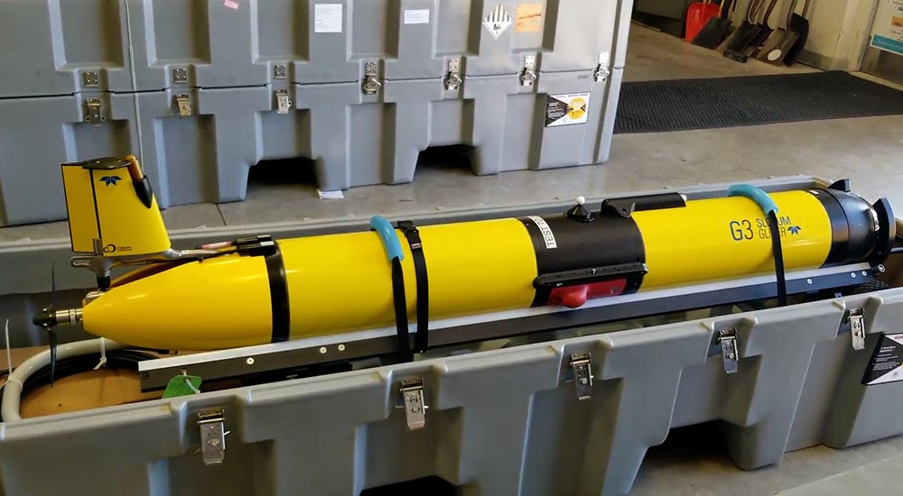
Slocum G3 Glider
Vehicle Name: Josephine (new)
Model: Teledyne Slocum G3
Onboard: RBR CTD, Wetlabs ECO Triplet (chlorophyll A, backscatter, and CDOM), PAR, fast-response dissolved oxygen sensor, rechargeable lithium-ion battery
Max depth: 50 meters
Other Uncrewed Systems
On the Surface
The least common type of UxS in the Great Lakes, uncrewed surface vehicles, like the SeaTrac, collect data from the water and meteorological data from the air.
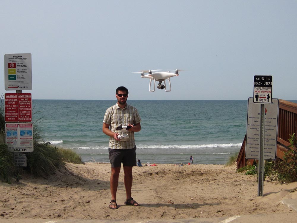
In the Air
Uncrewed aerial systems, like drones, can collect measurements and imagery of lake surface conditions using various types of cameras and sensors.