Data Categories
At GLOS, we categorize data based on what it measures, where it comes from, and how frequently it is sent.
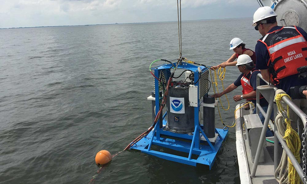
What is it Measuring?
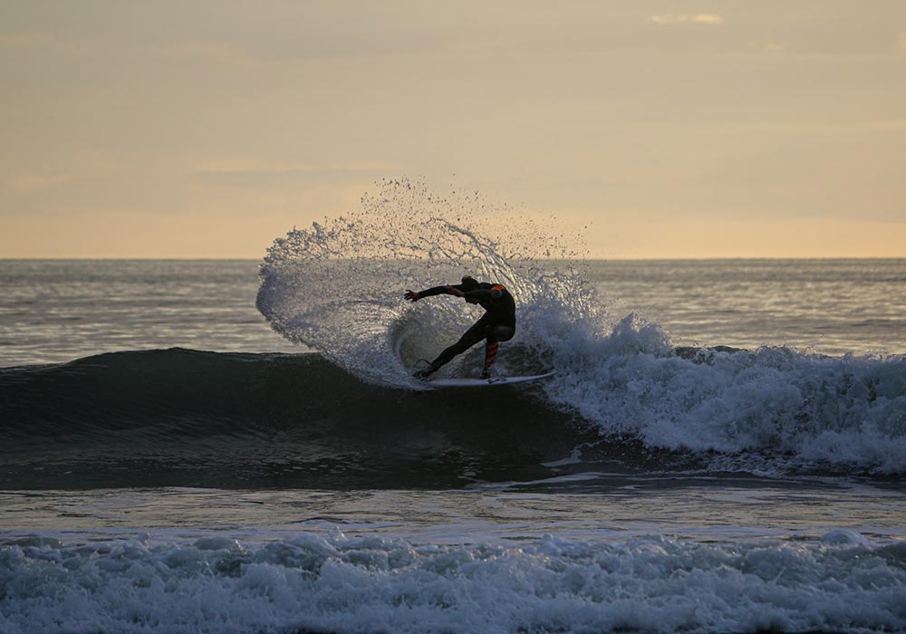
Physical Data
includes things like the characteristics of the lakebed (bathymetry), how the water moves (currents), and how warm or cold the air is (air temperature).
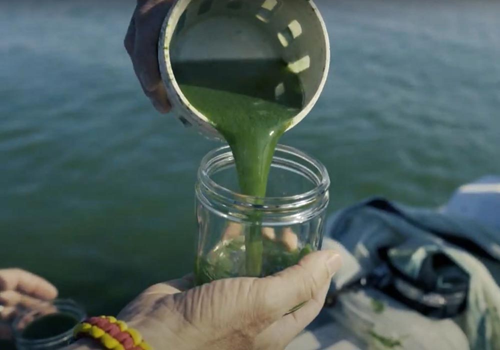
Biogeochemical Data
often refers to water quality information, such as water clarity (total suspended solids) and how well it can support life (dissolved oxygen and nutrients).
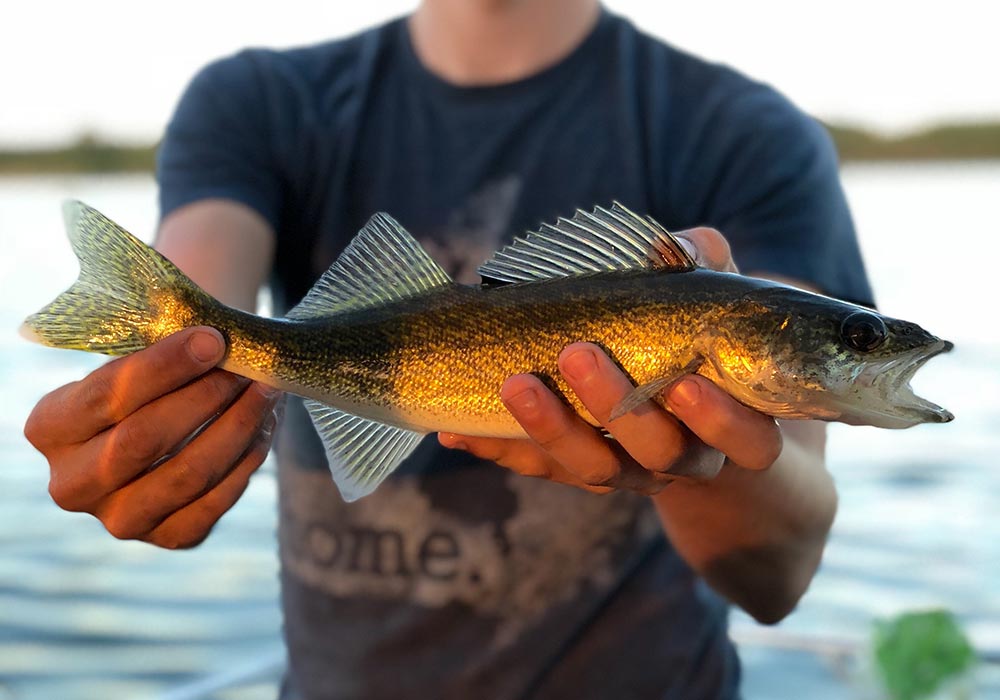
Biological Data
encompasses measurements about plants and animals inhabiting the ecosystems of the region, including habitats and data on fish populations and distribution.
Where does the data come from?
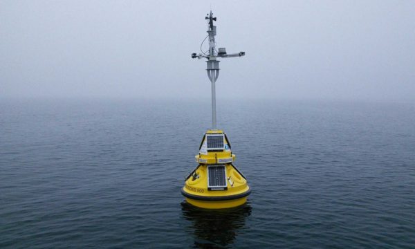
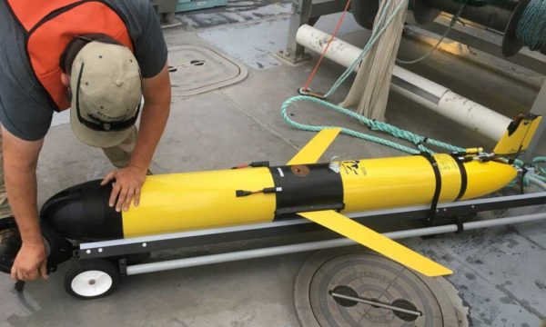
Data collected directly from the environment is observing data. Observing data is usually collected by buoys, gliders, satellites, or other platforms. Other types of observations can include images and videos or lakefloor elevation information.
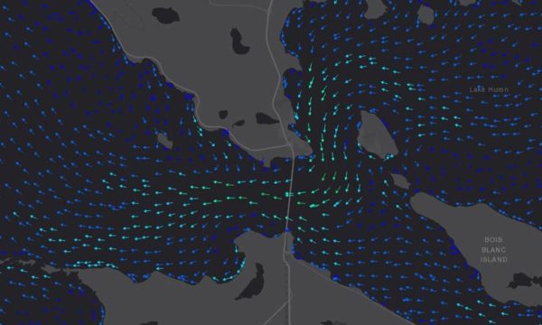
Data generated by computer-based numerical models is commonly called “model data” and often uses observational data to make predictions for large areas like a bay or even an entire lake.
How frequently is data sent?
Observing data fits into two categories based on how frequently it is sent: real-time and delayed mode.
- Real-time data, or “live” data, is transmitted from an observing platform, usually by satellite or cellular connection, within minutes or hours of being collected. This data is given a quality check and is then quickly shared on Seagull and through GLOS apps.
- Delayed mode data is accessed, analyzed, or shared weeks, months, or even a year after it was collected.
Model data can provide short-term predictions about the present, called nowcast, or long-term predictions about the future, called forecast.
