Apps
Find information for your decisions.

Seagull COAST
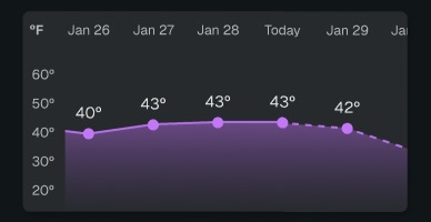
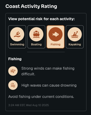
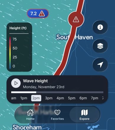
Seagull Coast – A New Mobile App for Great Lakes Coastal Safety
Seagull Coast is a new mobile application designed to help people make safer decisions when planning recreation in Great Lakes coastal areas.
With a user-centered design process that included workshops with recreational users and domain experts, surveys for requirements gathering, and multiple rounds of low-fidelity and high-fidelity design iterations, the app’s structure is informed by- and built for- the user.
Development of the mobile application is underway, with a public launch in late 2026.
Seagull Coast will offer:
- Clear, easy-to-understand coastal safety information for recreational planning
- Identification of unsafe lake conditions that may impact activities such as boating, swimming, paddling, and shoreline recreation
- A mobile experience designed specifically for on-the-go decision-making
- Science-based data translated into actionable insights for everyday users
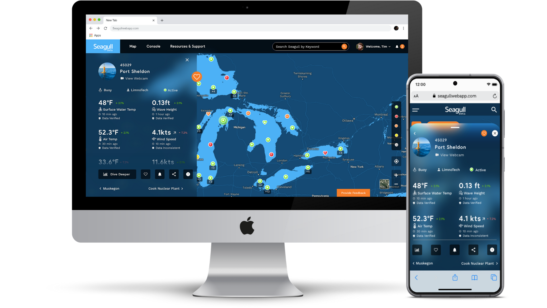
Seagull
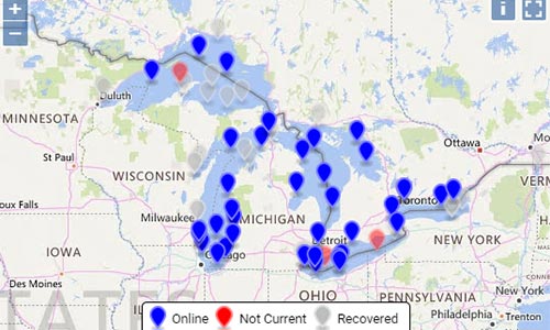
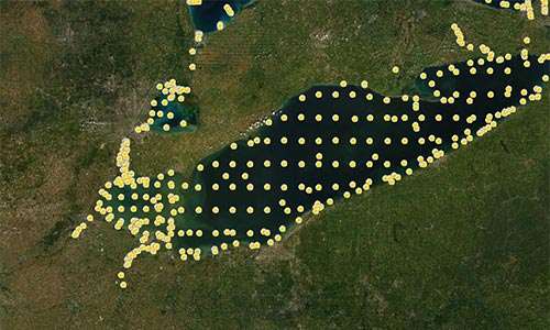
Seagull—a powerful, cloud-based platform for Great Lakes data and information
GLOS built Seagull to help connect people to the water like never before. A powerful, cloud-based platform, Seagull re-imagines how connected data becomes information and insights in peoples’ hands.
Seagull enables observers to:
- Understand live lake conditions and make informed decisions
- Contextualize information using search, a beautiful map, and simple visualizations
- Easily connect a device or data source and share it with thousands of other people
- Track their buoy, sensor, or other observing platform in real-time
Legacy Apps
Legacy applications have been phased out and decommissioned as the state-of-the-art platform Seagull has grown and developed advanced functionality.
Included in the decommissions:
- GL Buoys – Retired in 2022, with data and buoy integrations now on Seagull
- Huron-to-Erie Corridor Spill Tracking Tool, or HECSpill. We look forward to integrating features of the HECSpill tool into the Seagull platform in the future.
- Great Lakes Geospatial Metadata Catalog