As the world’s largest freshwater ecosystem, the Great Lakes are invaluable to regional and global water security and sustainability.
GLOS, the Regional Association for the Integrated Ocean Observing System (IOOS), provides critical observing infrastructure and delivers real-time data on winds, waves, water conditions, and biological and chemical parameters.
This information supports the regional marine economy, improves forecasts, and supports decision-making and nearshore safety for everyone around the Great Lakes region.
GLOS Provides Essential Services
The Great Lakes Observing System provides support for critical infrastructure and services that support national security, economic resilience, efficient maritime commerce, offshore industry, and public health & safety.
Water Quality Management

Over 40 million people depend on the Great Lakes for drinking water and recreation. When equipped with real-time insights on lake health, observers can protect source waters, enjoy the lakes safely, and improve the health of their communities.
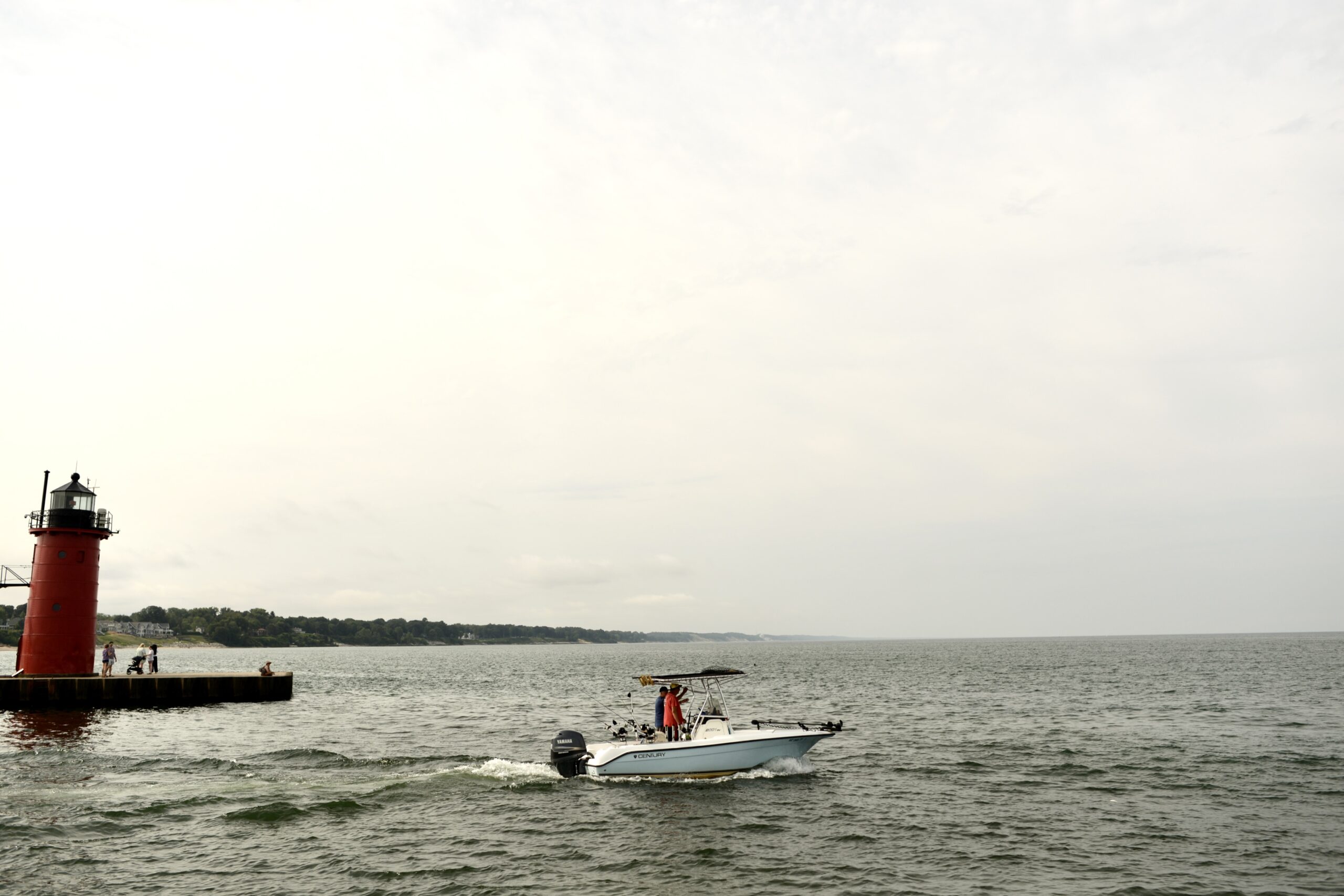
Maritime Economy & Services

Maritime transportation and recreation are significant parts of the $6T regional economy. GLOS observing assets support safer boating, more efficient shipping, and smarter decision making.
Public Safety

GLOS works with partners to install observing technology and deliver critical data to measure and assess coastal hazards. The information collected is critical for providing safety guidance to decision makers, from nearshore navigators to recreational beachgoers.
Impact Area Priorities

Public Health and Safety
Informed decisions about the tap and the beach
GLOS seeks to improve the livelihoods of the over 40 million people who depend on the Great Lakes for drinking water and recreation. When equipped with real-time insights on lake health, observers can protect source waters, enjoy the lakes safely, and improve the health of their environment.
GLOS provides:
- Live information to help predict harmful algal blooms and warn drinking water managers
- Technologies that assist spill response and lakefloor infrastructure mapping.
- Safety information to guide beach closures
- Wind, wave, and temperature measurements for beach goers, surfers, and boaters

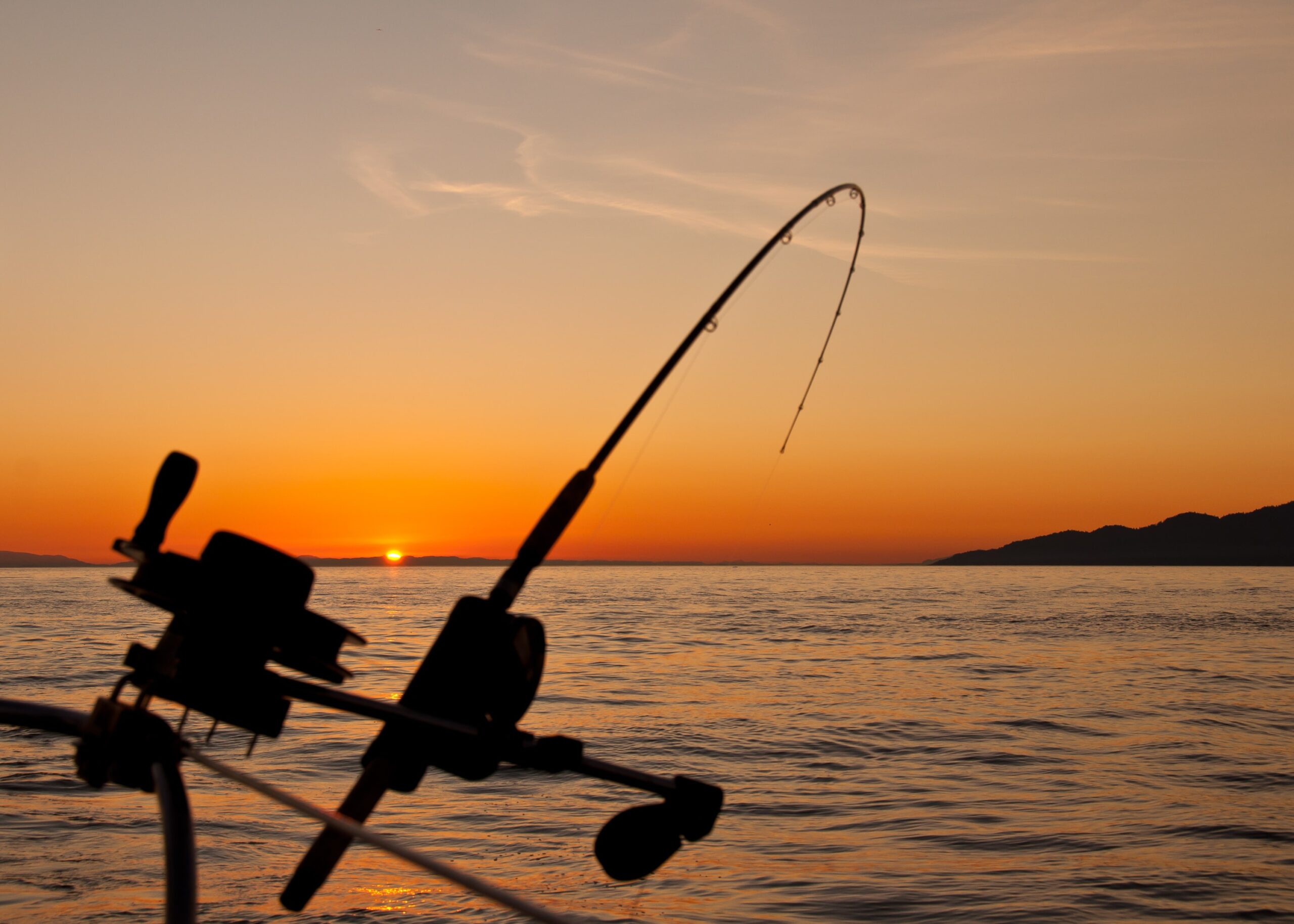
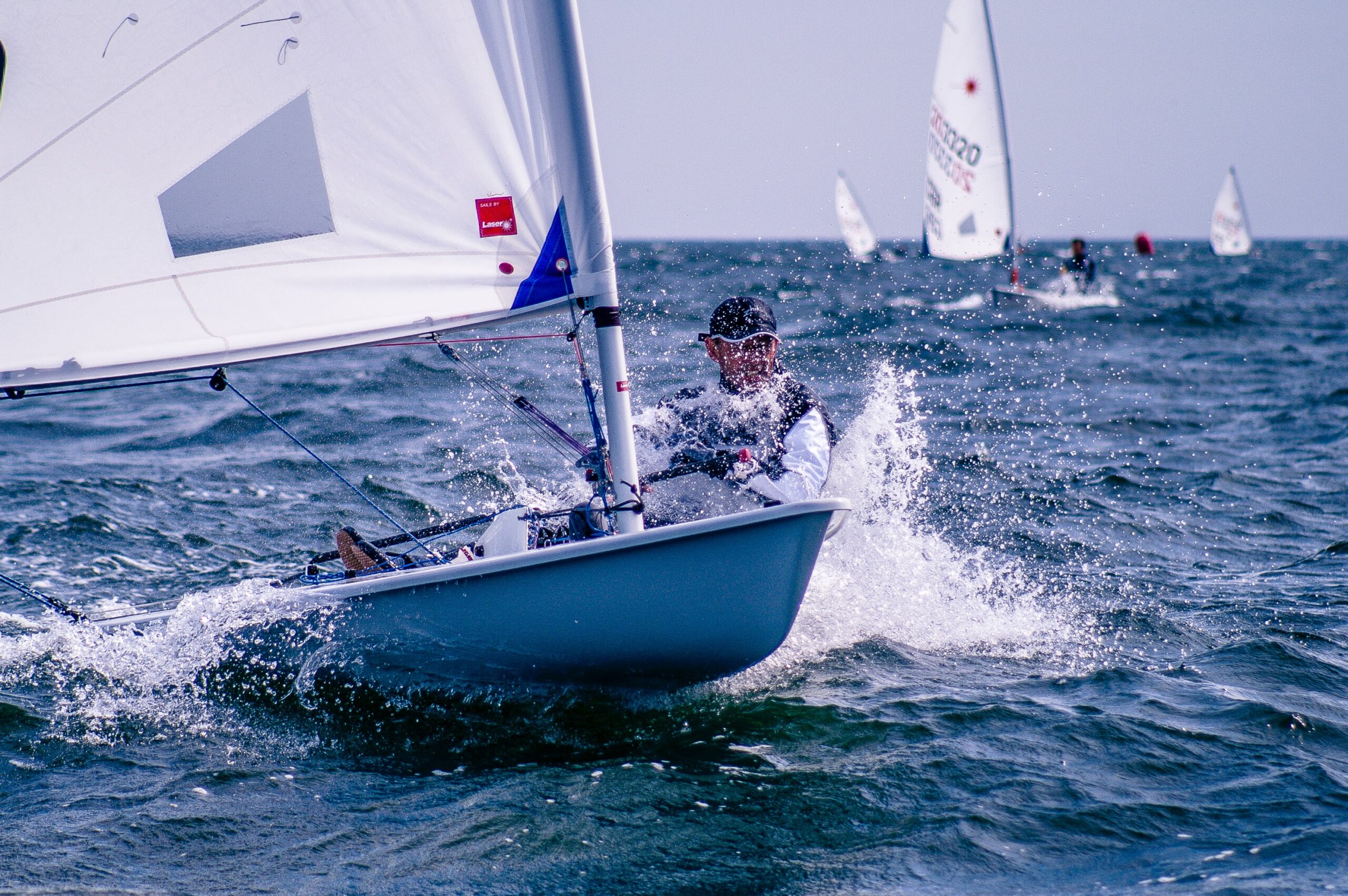
Maritime Operations
Awareness on the water
Maritime transportation and recreation are massive contributors to the $6T regional economy. GLOS projects support safer boating, more efficient shipping, and smarter decision making.
GLOS helps:
- Feed critical lake forecast models with data to improve accuracy
- Support decision making for the Coast Guard, the National Weather Service, and local port authorities
- Equip tens of thousands of boaters with information on waves, wind, and water temperature
- Introduce new monitoring technologies to the region for safer, more effective logistics

Climate Resiliency
Monitoring a dynamic region
People in this region witness shifting baseline conditions all around them all of the time – from eroding shorelines and changing ice patterns, to seasonal harmful algal blooms. By monitoring these ever-changing lakes and sharing those insights, we help people understand so they can stay safe now and plan for the future.
GLOS enables:
- Data-driven consensus building
- Information sharing across the borders and sectors
- Long-term trend analysis using archived lake condition and ice records

Ecosystem Health
Deep understanding of human impacts
A healthier ecosystem tomorrow means having a deep understanding of the water today. Whether it is via an insight from a buoy detecting a shift in water chemistry, or a fish tag reader registering walleye movements, we help observers understand how to safeguard our delicate regional ecosystem.
GLOS data helps observers:
- Pinpoint ecosystem stressors like changing water levels and hypoxia
- Track nutrients entering the lakes to protect water quality
- Understand water dynamics in areas of concern (AOCs)
- Measure the results of restoration projects

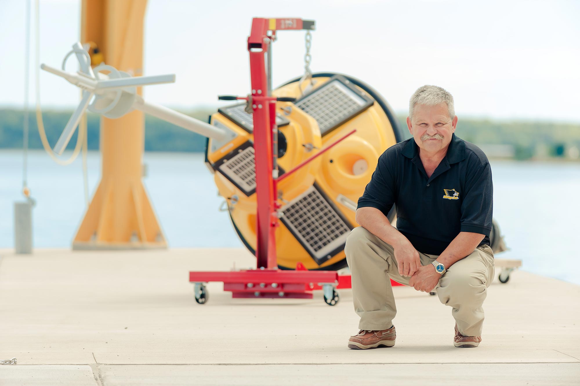
A Network of Observers
As the regional association of the Integrated Ocean Observing System (IOOS), GLOS is the nexus for Great Lakes data and information. We rely heavily on partners (municipalities, universities, other research groups, businesses, and many more) to manage and deploy their own assets, whether that’s buoys, water quality sondes, gliders, etc. Many of these assets have been purchased or supported financially by GLOS, but we couldn’t do the basin-wide observing without the observing system partner network.


Access to real-time information
Great Lakes stakeholders are able to get real-time data and insights via Seagull.
Users of GLOS’ data on Seagull include a wide range of people- anglers (private and commercial), small craft operators, tour operators, scuba divers, boating enthusiasts, beach goers, water treatment managers, researchers and cruise ship companies and passengers, plus many many more!
")