Lakebed 2030 Conference
Map the Great Lakes
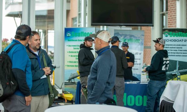
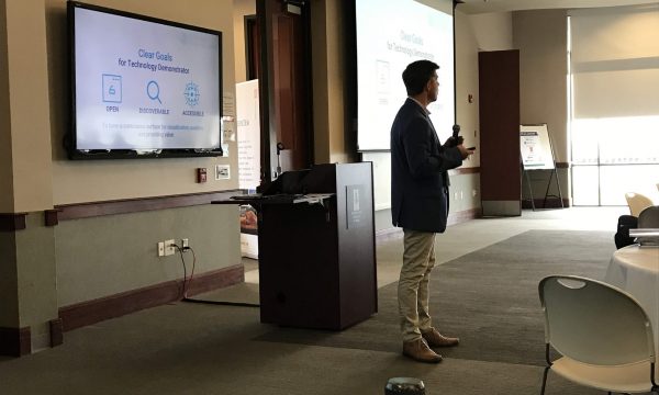
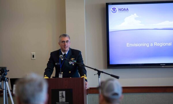
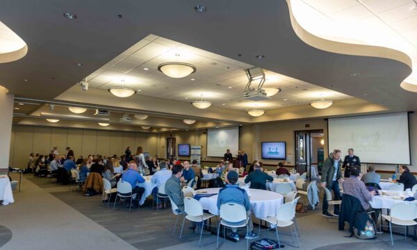
The objective of the Lakebed 2030 conference is to bring together science and research, policy, government, and industry professionals to:
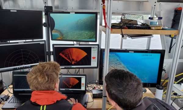
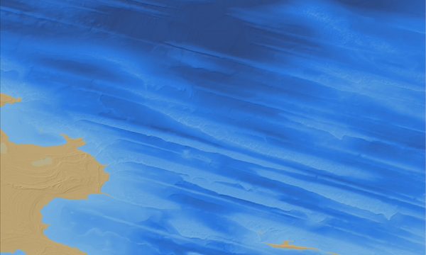
- Focus on high-resolution mapping and bathymetry data in the Great lakes.
- Work towards a strategy to catalog new and existing lakebed information for shared use.
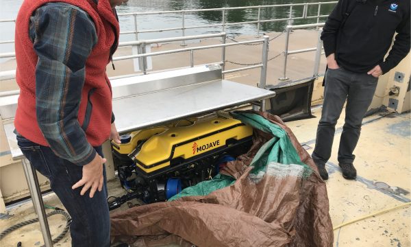
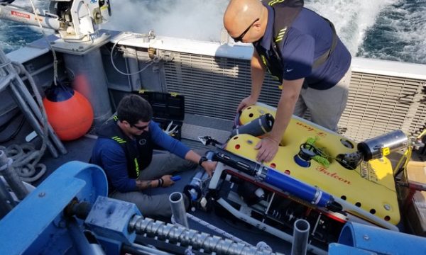
- Share the latest technology advancements with the Great Lakes community.
2022 Recordings, Slides, and Photos
Senator Gary Peters | Welcome to Lakebed 2030
Hans VanSumeren | Wrapup
Denis Hains | Hydrospatial Data for Better Understanding of the Great Lakes!
Charles Menza | Characterizing Lakebed Habitats Using Remotely-sensed Data and Predictive Modeling
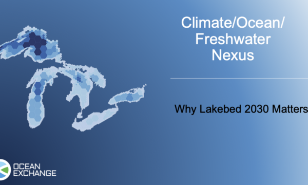
Tim Kearns | Lakebed 2030 Next Steps to Realizing the Goal
Linden Brinks | Lakebed 2030 Visualizing Progress
Nathaniel Penrod | Modeling the Risk of Dreissenid Mussel Colonization
Nick Azzopardi | Successes and Challenges from Two Years of Great Lakes Mapping
Michelle Levano and Sarah Thompson | Acquisition Methods for Charting of Approaches to Cleveland
Matt Holland and Mike Mutschler | High Performance and Low Carbon Mapping for the Great Lakes
John Bright | NOAA Great Lakes Research Vessel Mapping Updates for 2022
Jessica Nation | NCEI Bathymetry Team: Data Contribution, Sharing, Accessibility, and Archive
Evan Martzial | Absolute Ocean, A Cloud Based Geospatial Data Management Platform
Dave Bernstein and Russ Green | Large-scale Charting of Lake Michigan and the WSCNMS
Christine Delbridge | Canadian Hydrographic Service’s Approach to Bathymetric Gap Analysis
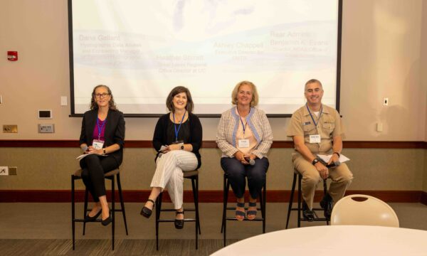
Evans, VanSumeren, Kearns | Mapping the Great Lakes: Gaps, Barriers, and Opportunities
Ayman Mabrouk | Ground Truthing for Lakebed Maps in the Great Lakes
Scott Spurgeon | Creating a Near-Seamless Digital Elevation Model of Lake Ontario
Brandon Krumwiede | Update on Great Lakes Benthic Habitat Mapping
Robin Mattheus | Monitoring Nearshore Morphodynamics at Illinois Beach State Park, Lake Michigan
Kitch Kennedy | Multi sensor, Low impact Data Collection in Support of Lakebed 2030
2021 Recordings
Day One
Day Two
Day Three
🗺️ Get Lakebed 2030 news
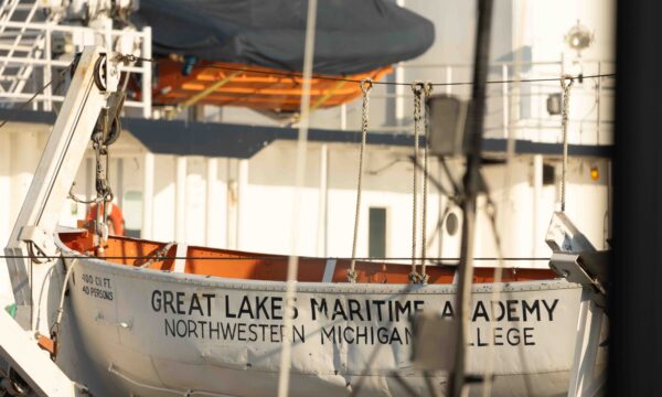
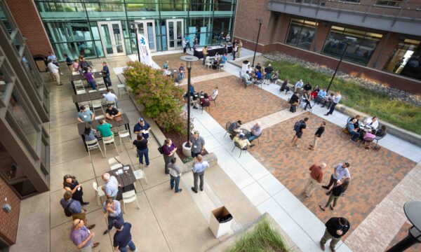
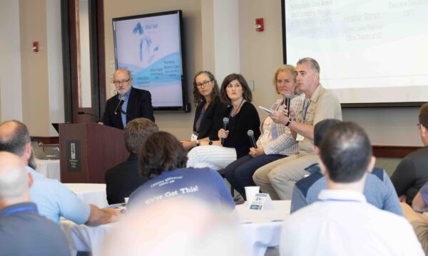
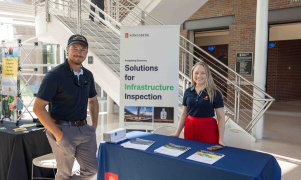
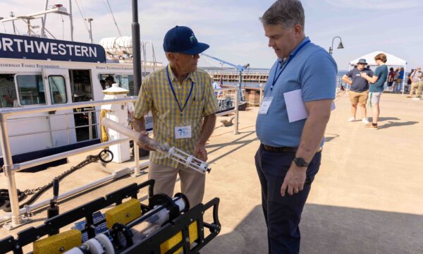
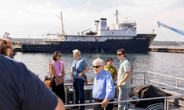
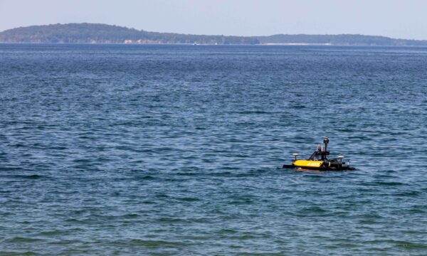
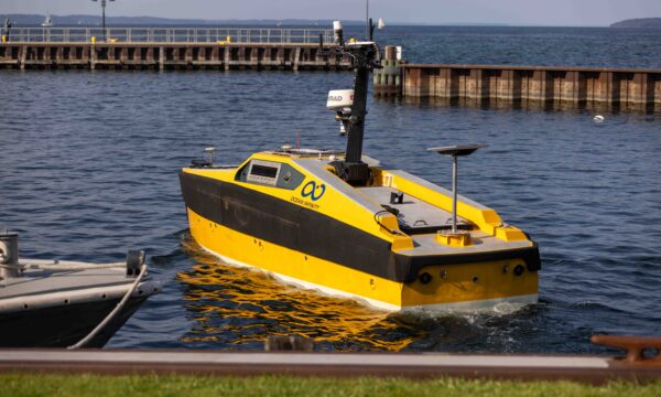
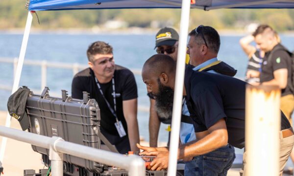
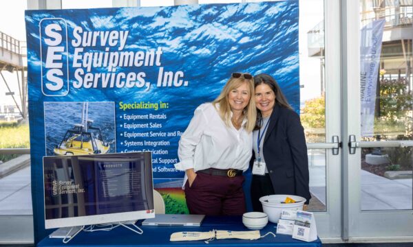
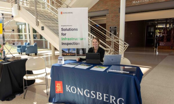
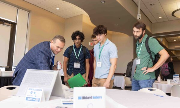
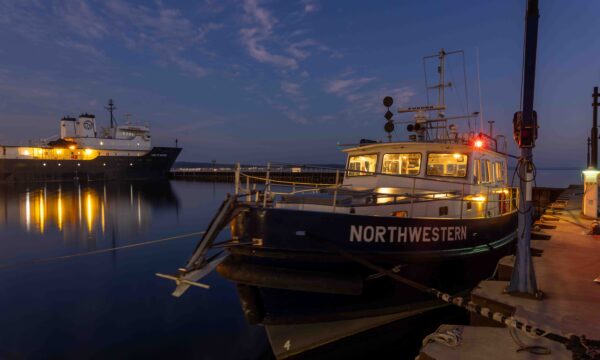
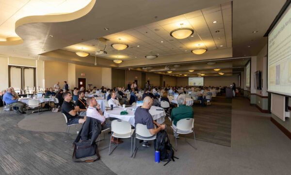
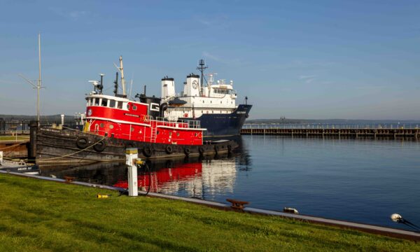
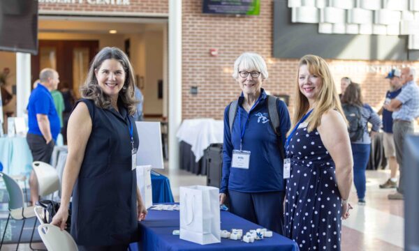
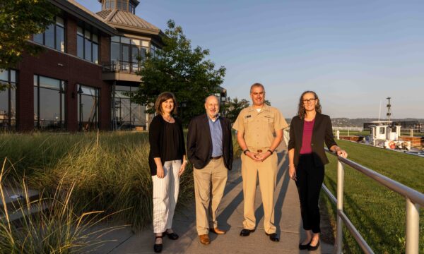
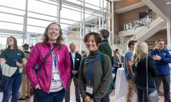
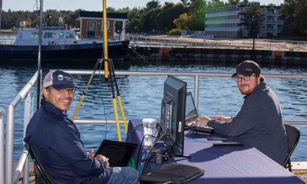
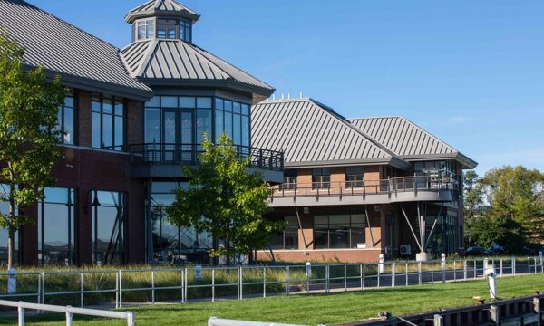
Photos by Hans VanSumeren and Northwestern Michigan College.

