High-Frequency Radar
Mapping currents in a complex waterway.
Those seeking to monitor currents in the Straits of Mackinac will soon have high quality data at their fingertips thanks to one of GLOS’ latest projects in partnership with Michigan Technological University.
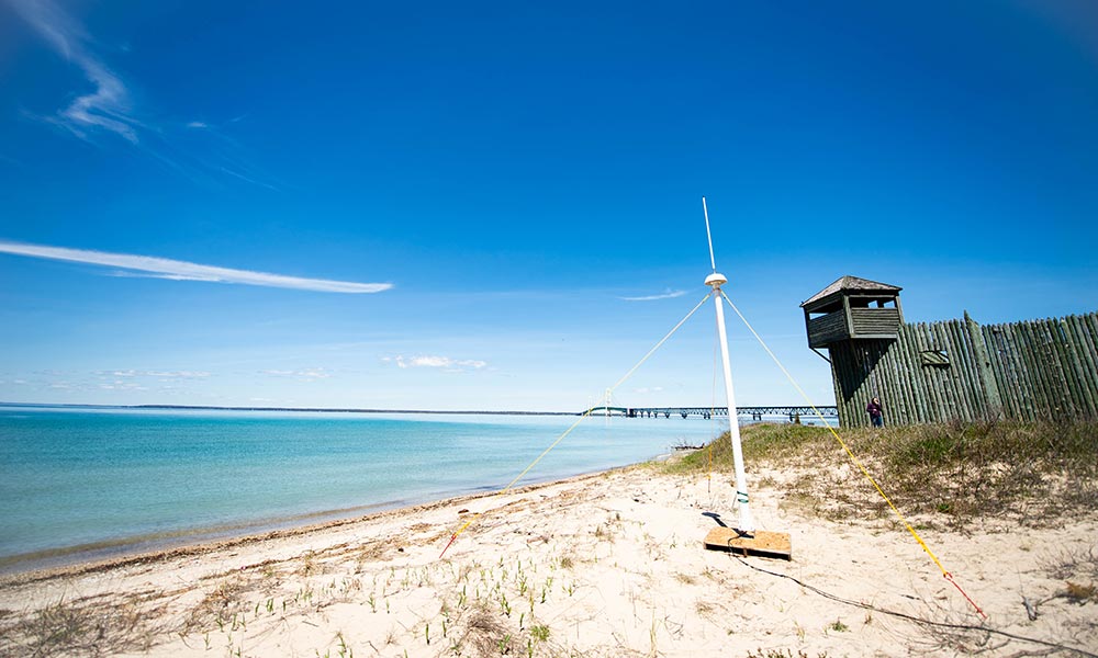
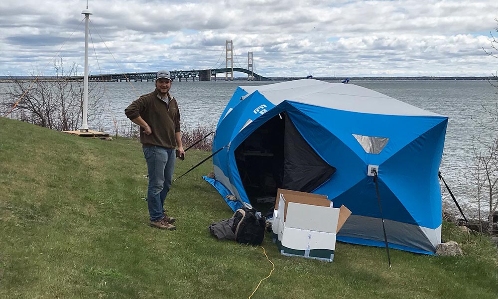
By securing a NOAA grant, GLOS is funding the purchase of a high-frequency radar (HFR) system that will monitor currents in near real-time. The implementation of the plan is being carried out by two Michigan Tech researchers, Lorelle and Guy Meadows. HFR has long been in use along U.S. coasts and was thought to be only viable in ocean settings.
Lorelle, however, first demonstrated its effectiveness in Lake Michigan in 1999-2001 with a specially built system and again in 2011 at Point Betsie with a commercial CODAR SeaSonde system at distances of 10-15 miles, which, Guy noted, is a perfect distance for many Great Lakes applications. This new monitoring system will lend itself to a plethora of applications from tracing any potential surface contaminant threat to monitoring ships and ice flows in the straits.
Actually a form of radio wave, HFR systems collect information by bouncing the transmitted waves off of a moving surface and measuring the time the waves take to reflect back to a receiver unit. Guy explained that this is known as a “Doppler shift,” and is similar to a police officer’s radar gun measuring the speed of an approaching car.
Guy says that aside from the single Michigan Tech buoy located just to the west of the Mackinac Bridge, there is currently no viable way to monitor real-time currents in the straits. Used in tandem with the new radar systems, we will have a significantly improved picture of what’s going on in this crucial waterway. The system will generate a new image every 20 minutes showing the current’s direction and speed. This data will be available through Seagull.
There is one problem: the Mackinac Bridge. While one pair of radar is good, two pairs are required to overcome the interference caused by the bridge to create a more complete picture.
“We’d like to move the bridge,” Guy joked. Both Lorelle and Guy are currently in talks to secure funding for a second radar pair that could be positioned on the east side of the bridge looking toward Mackinac Island.
Read more from Michigan Technological University here.